CREG Creag Megaidh Nature Reserve - Earthquake Result Viewer
Earthquake location: Southern Alaska
Earthquake latitude/longitude: 59.0/-155.1
Earthquake time(UTC): 2001/07/28 (209) 07:32:43 GMT
Earthquake Depth: 131 km
Earthquake Magnitude: 5.7 MB, 5.7 MS, 6.6 MW, 6.2 ME
Earthquake Catalog/Contributor: WHDF/NEIC
Network: XK Reflections under the Scottish Highlands
Station: CREG Creag Megaidh Nature Reserve
Lat/Lon: 56.94 N/4.52 W
Elevation: 413 m
Distance: 62.0 deg
Az: 17.735 deg
Baz: 343.294 deg
Ray Param: 0.06010576
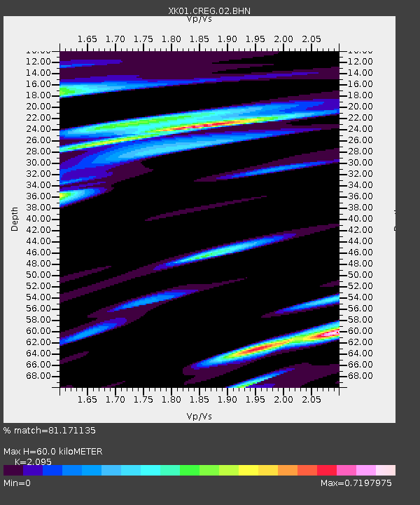
Estimated Moho Depth: 60.0 km
Estimated Crust Vp/Vs: 2.10
Assumed Crust Vp: 6.276 km/s
Estimated Crust Vs: 2.996 km/s
Estimated Crust Poisson's Ratio: 0.35
Radial Match: 81.171135 %
Radial Bump: 400
Transverse Match: 61.22533 %
Transverse Bump: 400
SOD ConfigId: 16820
Insert Time: 2010-03-09 22:59:29.871 +0000
GWidth: 2.5
Max Bumps: 400
Tol: 0.001

Signal To Noise

ChannelStoNSTALTA
XK:CREG:02:BHN:20010728T07:42:18.765005Z1.32727861.3644407E-71.02799866E-7
XK:CREG:02:BHE:20010728T07:42:18.765005Z0.77137268.212232E-81.0646258E-7
XK:CREG:02:BHZ:20010728T07:42:18.765005Z1.2229051.4881863E-71.2169271E-7
Arrivals
Ps11 SECOND
PpPs29 SECOND
PsPs/PpSs39 SECOND