SAVY San Antonio Valley, California - Earthquake Result Viewer
Earthquake location: Kermadec Islands, New Zealand
Earthquake latitude/longitude: -29.2/-177.6
Earthquake time(UTC): 1995/07/03 (184) 19:50:50 GMT
Earthquake Depth: 33 km
Earthquake Magnitude: 6.5 MB, 7.2 MS, 7.2 UNKNOWN, 7.2 MW
Earthquake Catalog/Contributor: WHDF/NEIC
Network: CT California Transect Network
Station: SAVY San Antonio Valley, California
Lat/Lon: 37.39 N/121.50 W
Elevation: 600 m
Distance: 84.6 deg
Az: 41.622 deg
Baz: 226.813 deg
Ray Param: 0.045351114
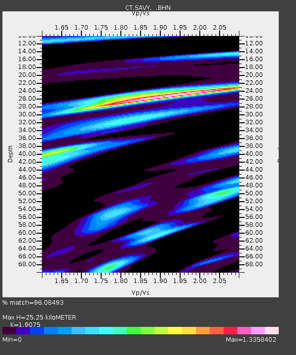
Estimated Moho Depth: 25.25 km
Estimated Crust Vp/Vs: 1.91
Assumed Crust Vp: 6.391 km/s
Estimated Crust Vs: 3.35 km/s
Estimated Crust Poisson's Ratio: 0.31
Radial Match: 96.08493 %
Radial Bump: 400
Transverse Match: 94.99858 %
Transverse Bump: 400
SOD ConfigId: 6273
Insert Time: 2010-03-09 23:18:37.242 +0000
GWidth: 2.5
Max Bumps: 400
Tol: 0.001

Signal To Noise

ChannelStoNSTALTA
CT:SAVY: :BHN:19950703T20:02:48.787012Z4.61225183.938661E-78.539561E-8
CT:SAVY: :BHE:19950703T20:02:48.787012Z2.64005114.158945E-71.5753274E-7
CT:SAVY: :BHZ:19950703T20:02:48.787012Z11.6032762.098737E-61.8087451E-7
Arrivals
Ps3.7 SECOND
PpPs11 SECOND
PsPs/PpSs15 SECOND