You are here: Home > Network List > G - GEOSCOPE Stations List
> Station TAOE Taiohae, Marquises islands > Earthquake Result Viewer
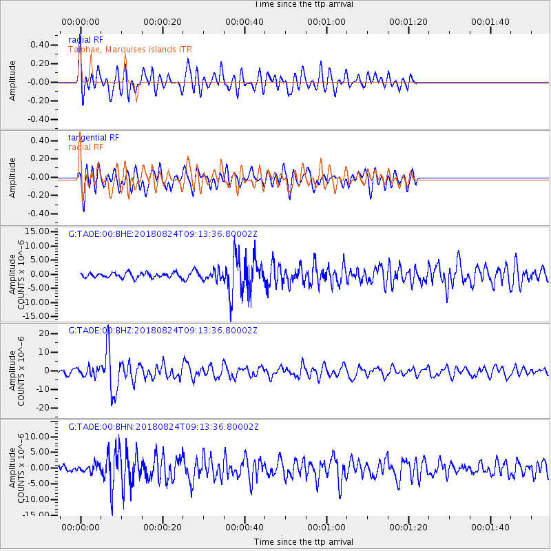
TAOE Taiohae, Marquises islands - Earthquake Result Viewer
*The percent match for this event was below the threshold and hence no stack was calculated.
| Earthquake location: |
Peru-Brazil Border Region |
| Earthquake latitude/longitude: |
-11.0/-70.8 |
| Earthquake time(UTC): |
2018/08/24 (236) 09:04:06 GMT |
| Earthquake Depth: |
609 km |
| Earthquake Magnitude: |
7.1 Mww |
| Earthquake Catalog/Contributor: |
NEIC PDE/us |
|
| Network: |
G GEOSCOPE |
| Station: |
TAOE Taiohae, Marquises islands |
| Lat/Lon: |
8.85 S/140.15 W |
| Elevation: |
800 m |
|
| Distance: |
68.2 deg |
| Az: |
264.824 deg |
| Baz: |
98.365 deg |
| Ray Param: |
$rayparam |
*The percent match for this event was below the threshold and hence was not used in the summary stack. |
|
| Radial Match: |
63.016014 % |
| Radial Bump: |
400 |
| Transverse Match: |
71.123055 % |
| Transverse Bump: |
400 |
| SOD ConfigId: |
2825771 |
| Insert Time: |
2018-09-07 09:12:51.797 +0000 |
| GWidth: |
2.5 |
| Max Bumps: |
400 |
| Tol: |
0.001 |
|
Signal To Noise
| Channel | StoN | STA | LTA |
| G:TAOE:00:BHZ:20180824T09:13:36.80002Z | 2.8278937 | 2.242784E-6 | 7.930935E-7 |
| G:TAOE:00:BHN:20180824T09:13:36.80002Z | 1.1883454 | 1.1986374E-6 | 1.0086607E-6 |
| G:TAOE:00:BHE:20180824T09:13:36.80002Z | 1.8717545 | 1.5861109E-6 | 8.473925E-7 |
| Arrivals |
| Ps | |
| PpPs | |
| PsPs/PpSs | |


