KEK KERKIRA, GREECE - Earthquake Result Viewer
Earthquake location: Southern Sumatra, Indonesia
Earthquake latitude/longitude: -2.2/99.8
Earthquake time(UTC): 2008/02/25 (056) 21:02:18 GMT
Earthquake Depth: 25 km
Earthquake Magnitude: 6.2 MB, 6.6 MS, 6.6 MW, 6.5 MW
Earthquake Catalog/Contributor: WHDF/NEIC
Network: HL National Observatory of Athens Digital Broadband Network
Station: KEK KERKIRA, GREECE
Lat/Lon: 39.71 N/19.80 E
Elevation: 280 m
Distance: 83.7 deg
Az: 310.16 deg
Baz: 98.117 deg
Ray Param: 0.045942787
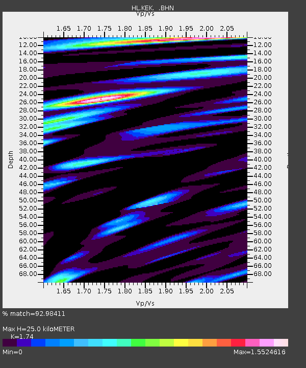
Estimated Moho Depth: 25.0 km
Estimated Crust Vp/Vs: 1.74
Assumed Crust Vp: 5.738 km/s
Estimated Crust Vs: 3.298 km/s
Estimated Crust Poisson's Ratio: 0.25
Radial Match: 92.98411 %
Radial Bump: 400
Transverse Match: 89.39612 %
Transverse Bump: 400
SOD ConfigId: 2564
Insert Time: 2010-03-09 23:27:10.405 +0000
GWidth: 2.5
Max Bumps: 400
Tol: 0.001

Signal To Noise

ChannelStoNSTALTA
HL:KEK: :BHN:20080225T21:14:13.870012Z3.26285274.4534076E-71.3648817E-7
HL:KEK: :BHE:20080225T21:14:13.870012Z7.4399819.920739E-71.333436E-7
HL:KEK: :BHZ:20080225T21:14:13.870012Z12.5938832.5993588E-62.0639852E-7
Arrivals
Ps3.3 SECOND
PpPs12 SECOND
PsPs/PpSs15 SECOND