AFIF XI.AFIF - Earthquake Result Viewer
Earthquake location: Tanimbar Islands Reg., Indonesia
Earthquake latitude/longitude: -6.9/131.1
Earthquake time(UTC): 1996/12/29 (364) 03:43:28 GMT
Earthquake Depth: 31 km
Earthquake Magnitude: 5.8 MB, 5.3 MS, 5.8 UNKNOWN, 5.8 MW
Earthquake Catalog/Contributor: WHDF/NEIC
Network: XI Saudi Arabia Broadband Array
Station: AFIF XI.AFIF
Lat/Lon: 23.93 N/43.04 E
Elevation: 1116 m
Distance: 91.0 deg
Az: 293.848 deg
Baz: 97.052 deg
Ray Param: 0.041632626
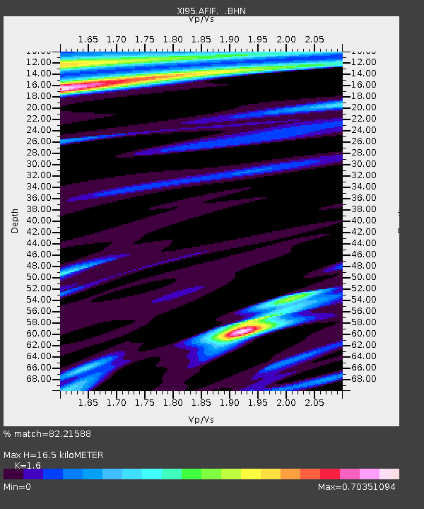
Estimated Moho Depth: 16.5 km
Estimated Crust Vp/Vs: 1.60
Assumed Crust Vp: 6.642 km/s
Estimated Crust Vs: 4.151 km/s
Estimated Crust Poisson's Ratio: 0.18
Radial Match: 82.21588 %
Radial Bump: 400
Transverse Match: 44.18754 %
Transverse Bump: 400
SOD ConfigId: 4480
Insert Time: 2010-03-09 23:33:15.326 +0000
GWidth: 2.5
Max Bumps: 400
Tol: 0.001

Signal To Noise

ChannelStoNSTALTA
XI:AFIF: :BHN:19961229T03:55:57.831006Z3.09964946.508019E-72.0995984E-7
XI:AFIF: :BHE:19961229T03:55:57.831006Z0.883763139.452448E-81.06956804E-7
XI:AFIF: :BHZ:19961229T03:55:57.831006Z3.43907624.158563E-71.2092094E-7
Arrivals
Ps1.5 SECOND
PpPs6.3 SECOND
PsPs/PpSs7.8 SECOND