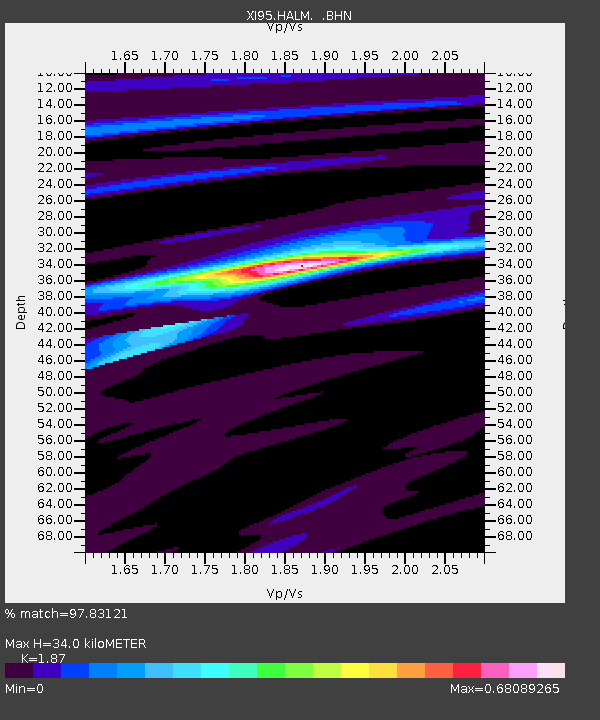
HALM XI.HALM - Earthquake Result Viewer

Earthquake location: Kuril Islands
Earthquake latitude/longitude: 44.5/149.1
Earthquake time(UTC): 1995/11/24 (328) 17:24:12 GMT
Earthquake Depth: 33 km
Earthquake Magnitude: 6.1 MB, 6.3 MS, 6.1 UNKNOWN, 6.6 MW
Earthquake Catalog/Contributor: WHDF/NEIC
Network: XI Saudi Arabia Broadband Array
Station: HALM XI.HALM
Lat/Lon: 22.85 N/44.32 E
Elevation: 930 m
Distance: 84.2 deg
Az: 296.281 deg
Baz: 44.031 deg
Ray Param: 0.045631643
Estimated Moho Depth: 34.0 km
Estimated Crust Vp/Vs: 1.87
Assumed Crust Vp: 6.498 km/s
Estimated Crust Vs: 3.475 km/s
Estimated Crust Poisson's Ratio: 0.30
Radial Match: 97.83121 %
Radial Bump: 321
Transverse Match: 75.11136 %
Transverse Bump: 400
SOD ConfigId: 6273
Insert Time: 2010-03-09 23:37:22.709 +0000
GWidth: 2.5
Max Bumps: 400
Tol: 0.001

Signal To Noise

ChannelStoNSTALTA
XI:HALM: :BHN:19951124T17:36:09.166016Z3.74025343.4826795E-79.3113464E-8
XI:HALM: :BHE:19951124T17:36:09.166016Z4.2170772.9213487E-76.927426E-8
XI:HALM: :BHZ:19951124T17:36:09.166016Z13.6407291.1740451E-68.606909E-8
Arrivals
Ps4.7 SECOND
PpPs15 SECOND
PsPs/PpSs19 SECOND