You are here: Home > Network List > GS - US Geological Survey Networks Stations List
> Station OK031 S. Brethren Rd., Cushing, OK, USA > Earthquake Result Viewer
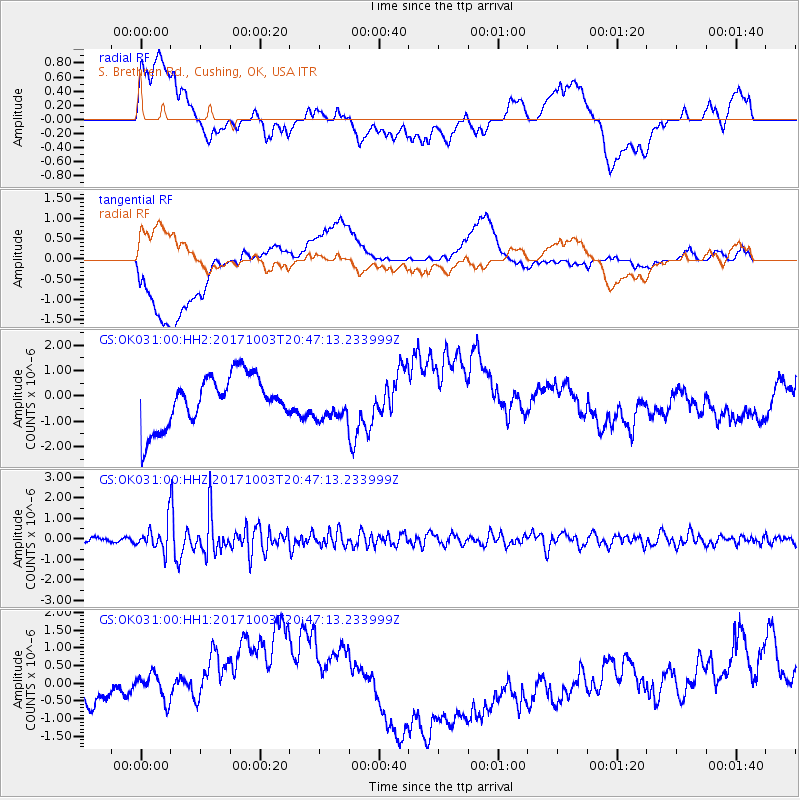
OK031 S. Brethren Rd., Cushing, OK, USA - Earthquake Result Viewer
*The percent match for this event was below the threshold and hence no stack was calculated.
| Earthquake location: |
North Atlantic Ocean |
| Earthquake latitude/longitude: |
13.5/-49.3 |
| Earthquake time(UTC): |
2017/10/03 (276) 20:39:04 GMT |
| Earthquake Depth: |
10 km |
| Earthquake Magnitude: |
5.7 Mww |
| Earthquake Catalog/Contributor: |
NEIC PDE/us |
|
| Network: |
GS US Geological Survey Networks |
| Station: |
OK031 S. Brethren Rd., Cushing, OK, USA |
| Lat/Lon: |
35.95 N/96.84 W |
| Elevation: |
290 m |
|
| Distance: |
48.1 deg |
| Az: |
306.452 deg |
| Baz: |
105.313 deg |
| Ray Param: |
$rayparam |
*The percent match for this event was below the threshold and hence was not used in the summary stack. |
|
| Radial Match: |
35.493576 % |
| Radial Bump: |
400 |
| Transverse Match: |
35.483246 % |
| Transverse Bump: |
400 |
| SOD ConfigId: |
2973751 |
| Insert Time: |
2018-10-08 23:41:40.570 +0000 |
| GWidth: |
2.5 |
| Max Bumps: |
400 |
| Tol: |
0.001 |
|
Signal To Noise
| Channel | StoN | STA | LTA |
| GS:OK031:00:HHZ:20171003T20:47:13.233999Z | 4.123945 | 6.729156E-7 | 1.6317277E-7 |
| GS:OK031:00:HH1:20171003T20:47:13.233999Z | 1.3144366 | 8.856757E-7 | 6.7380637E-7 |
| GS:OK031:00:HH2:20171003T20:47:13.233999Z | 0.71777016 | 7.027382E-7 | 9.790574E-7 |
| Arrivals |
| Ps | |
| PpPs | |
| PsPs/PpSs | |


