MM16 Lake Newton, Illinois - Earthquake Result Viewer
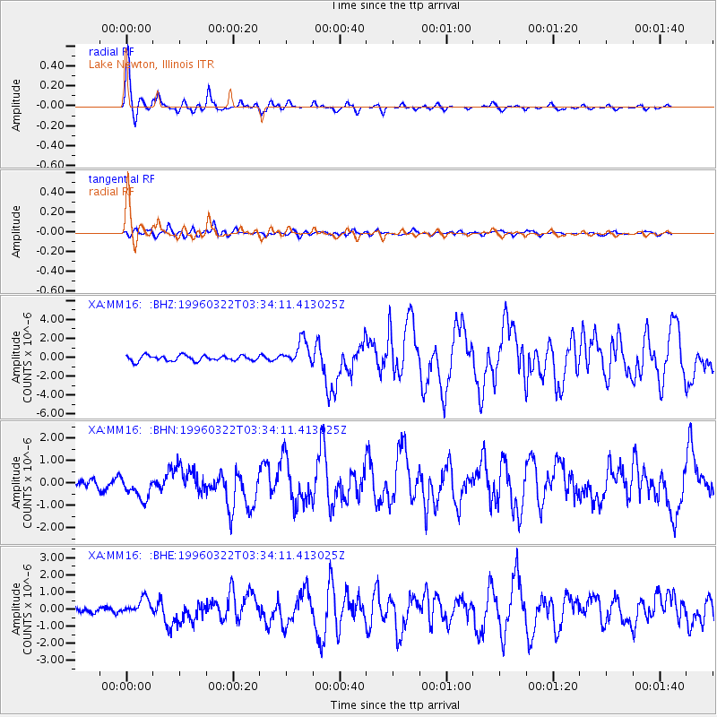
Earthquake location: Rat Islands, Aleutian Islands
Earthquake latitude/longitude: 51.2/178.7
Earthquake time(UTC): 1996/03/22 (082) 03:24:20 GMT
Earthquake Depth: 20 km
Earthquake Magnitude: 5.7 MB, 6.6 MS, 6.8 UNKNOWN, 6.6 ML
Earthquake Catalog/Contributor: WHDF/NEIC
Network: XA Missouri to Massachusetts Transect
Station: MM16 Lake Newton, Illinois
Lat/Lon: 38.92 N/88.30 W
Elevation: 165 m
Distance: 62.6 deg
Az: 61.371 deg
Baz: 314.958 deg
Ray Param: 0.060123473
Estimated Moho Depth: 49.0 km
Estimated Crust Vp/Vs: 1.75
Assumed Crust Vp: 6.444 km/s
Estimated Crust Vs: 3.672 km/s
Estimated Crust Poisson's Ratio: 0.26
Radial Match: 94.43024 %
Radial Bump: 333
Transverse Match: 82.97507 %
Transverse Bump: 400
SOD ConfigId: 6273
Insert Time: 2010-02-26 17:55:28.593 +0000
GWidth: 2.5
Max Bumps: 400
Tol: 0.001

Signal To Noise

ChannelStoNSTALTA
XA:MM16: :BHN:19960322T03:34:11.413025Z1.90909465.9389134E-73.1108533E-7
XA:MM16: :BHE:19960322T03:34:11.413025Z1.70220714.6925814E-72.7567629E-7
XA:MM16: :BHZ:19960322T03:34:11.413025Z4.3991071.2656812E-62.8771322E-7
Arrivals
Ps6.0 SECOND
PpPs20 SECOND
PsPs/PpSs26 SECOND