MM18 Tyson, Missiouri - Earthquake Result Viewer
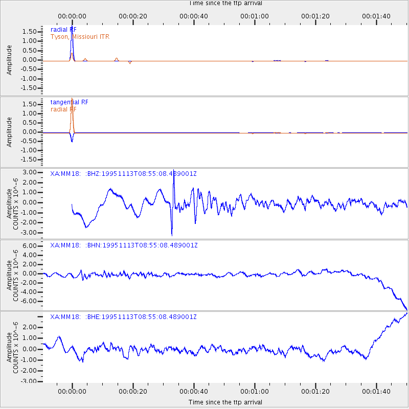
Earthquake location: East Of Lake Baykal, Russia
Earthquake latitude/longitude: 56.1/114.5
Earthquake time(UTC): 1995/11/13 (317) 08:43:14 GMT
Earthquake Depth: 24 km
Earthquake Magnitude: 5.9 MB, 5.6 MS, 5.8 UNKNOWN
Earthquake Catalog/Contributor: WHDF/NEIC
Network: XA Missouri to Massachusetts Transect
Station: MM18 Tyson, Missiouri
Lat/Lon: 38.53 N/90.57 W
Elevation: 186 m
Distance: 83.4 deg
Az: 19.528 deg
Baz: 346.172 deg
Ray Param: 0.046196803
Estimated Moho Depth: 10.0 km
Estimated Crust Vp/Vs: 1.60
Assumed Crust Vp: 6.498 km/s
Estimated Crust Vs: 4.061 km/s
Estimated Crust Poisson's Ratio: 0.18
Radial Match: 99.904564 %
Radial Bump: 35
Transverse Match: 99.44769 %
Transverse Bump: 58
SOD ConfigId: 29242
Insert Time: 2010-02-26 17:57:20.467 +0000
GWidth: 2.5
Max Bumps: 400
Tol: 0.001

Signal To Noise

ChannelStoNSTALTA
XA:MM18: :BHN:19951113T08:55:08.489001Z1.38227598.816838E-76.378493E-7
XA:MM18: :BHE:19951113T08:55:08.489001Z0.59819624.4788248E-77.487217E-7
XA:MM18: :BHZ:19951113T08:55:08.489001Z1.29210721.3143126E-61.0171855E-6
Arrivals
Ps1.0 SECOND
PpPs3.9 SECOND
PsPs/PpSs4.8 SECOND