KBK KN.KBK - Earthquake Result Viewer
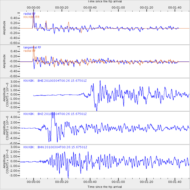
Earthquake location: Taiwan
Earthquake latitude/longitude: 22.9/120.8
Earthquake time(UTC): 2010/03/04 (063) 00:18:51 GMT
Earthquake Depth: 21 km
Earthquake Magnitude: 6.2 MB, 6.2 MS, 6.3 MW, 6.2 MW
Earthquake Catalog/Contributor: WHDF/NEIC
Network: KN Kyrgyz Seismic Telemetry Network
Station: KBK KN.KBK
Lat/Lon: 42.66 N/74.95 E
Elevation: 1760 m
Distance: 42.7 deg
Az: 308.665 deg
Baz: 102.608 deg
Ray Param: 0.07300528
Estimated Moho Depth: 53.75 km
Estimated Crust Vp/Vs: 1.98
Assumed Crust Vp: 6.306 km/s
Estimated Crust Vs: 3.181 km/s
Estimated Crust Poisson's Ratio: 0.33
Radial Match: 93.22755 %
Radial Bump: 400
Transverse Match: 89.28099 %
Transverse Bump: 400
SOD ConfigId: 308276
Insert Time: 2010-06-22 15:46:37.689 +0000
GWidth: 2.5
Max Bumps: 400
Tol: 0.001

Signal To Noise

ChannelStoNSTALTA
KN:KBK: :BHZ:20100304T00:26:15.67501Z5.05956652.4372503E-74.8171128E-8
KN:KBK: :BHN:20100304T00:26:15.67501Z1.05518576.045527E-85.7293487E-8
KN:KBK: :BHE:20100304T00:26:15.67501Z1.93606261.5182223E-77.841804E-8
Arrivals
Ps8.9 SECOND
PpPs24 SECOND
PsPs/PpSs33 SECOND