EIL GEOFON Station Eilat, Israel - Earthquake Result Viewer
Earthquake location: Northern Sumatra, Indonesia
Earthquake latitude/longitude: 2.4/97.0
Earthquake time(UTC): 2010/04/06 (096) 22:15:01 GMT
Earthquake Depth: 31 km
Earthquake Magnitude: 7.0 MB, 7.9 MS, 7.8 MW, 7.7 MW
Earthquake Catalog/Contributor: WHDF/NEIC
Network: GE GEOFON
Station: EIL GEOFON Station Eilat, Israel
Lat/Lon: 29.67 N/34.95 E
Elevation: 210 m
Distance: 64.7 deg
Az: 301.712 deg
Baz: 102.412 deg
Ray Param: 0.05870387
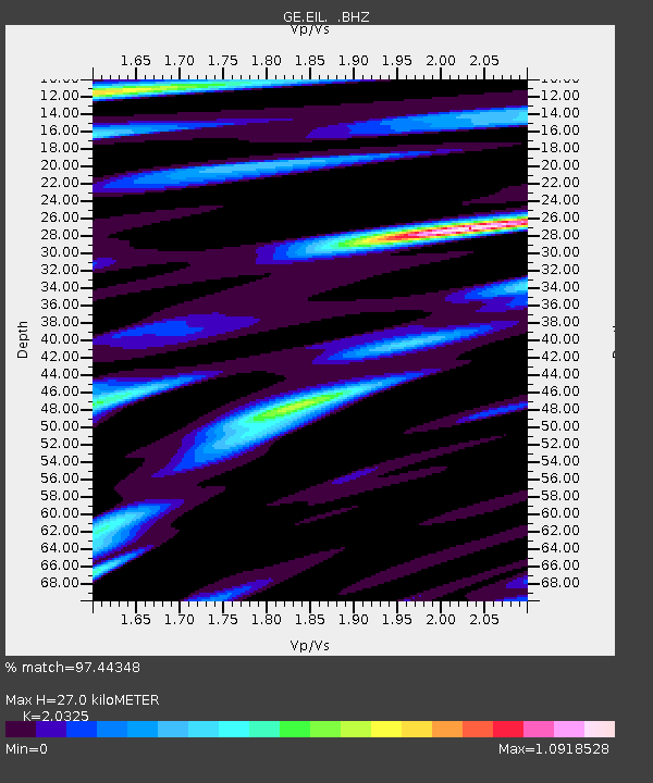
Estimated Moho Depth: 27.0 km
Estimated Crust Vp/Vs: 2.03
Assumed Crust Vp: 6.472 km/s
Estimated Crust Vs: 3.184 km/s
Estimated Crust Poisson's Ratio: 0.34
Radial Match: 97.44348 %
Radial Bump: 400
Transverse Match: 91.31342 %
Transverse Bump: 400
SOD ConfigId: 314316
Insert Time: 2010-07-27 06:37:30.799 +0000
GWidth: 2.5
Max Bumps: 400
Tol: 0.001

Signal To Noise

ChannelStoNSTALTA
GE:EIL: :BHZ:20100406T22:25:05.799971Z23.7174191.8586669E-67.8367165E-8
GE:EIL: :BHN:20100406T22:25:05.799971Z2.98241731.3935039E-74.6723972E-8
GE:EIL: :BHE:20100406T22:25:05.799971Z13.9974627.7028153E-75.5030085E-8
Arrivals
Ps4.5 SECOND
PpPs12 SECOND
PsPs/PpSs17 SECOND