TIR Tirana, Albania - Earthquake Result Viewer
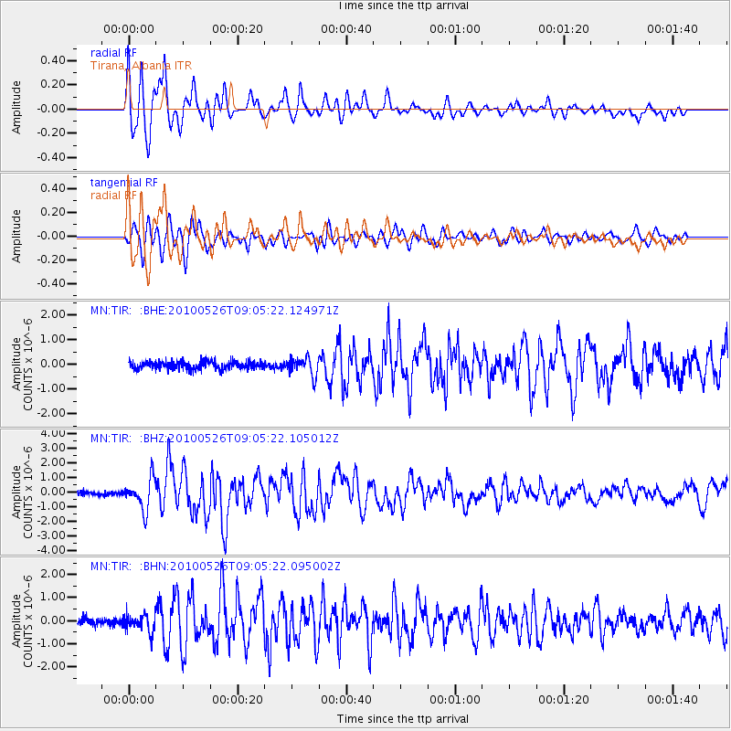
Earthquake location: Southeast Of Ryukyu Islands
Earthquake latitude/longitude: 25.8/129.9
Earthquake time(UTC): 2010/05/26 (146) 08:53:08 GMT
Earthquake Depth: 10 km
Earthquake Magnitude: 6.2 MB, 6.2 MS, 6.5 MW, 6.5 MW
Earthquake Catalog/Contributor: WHDF/NEIC
Network: MN MEDNET Project
Station: TIR Tirana, Albania
Lat/Lon: 41.35 N/19.86 E
Elevation: 247 m
Distance: 87.0 deg
Az: 314.921 deg
Baz: 57.992 deg
Ray Param: 0.043606468
Estimated Moho Depth: 13.5 km
Estimated Crust Vp/Vs: 2.08
Assumed Crust Vp: 5.967 km/s
Estimated Crust Vs: 2.869 km/s
Estimated Crust Poisson's Ratio: 0.35
Radial Match: 92.67775 %
Radial Bump: 400
Transverse Match: 87.45477 %
Transverse Bump: 400
SOD ConfigId: 314592
Insert Time: 2010-09-14 07:02:24.320 +0000
GWidth: 2.5
Max Bumps: 400
Tol: 0.001

Signal To Noise

ChannelStoNSTALTA
MN:TIR: :BHZ:20100526T09:05:22.105012Z7.1809381.0727751E-61.4939206E-7
MN:TIR: :BHN:20100526T09:05:22.095002Z2.4983453.823703E-71.5304946E-7
MN:TIR: :BHE:20100526T09:05:22.124971Z2.39911343.7050765E-71.5443524E-7
Arrivals
Ps2.5 SECOND
PpPs6.9 SECOND
PsPs/PpSs9.3 SECOND