UCH KN.UCH - Earthquake Result Viewer
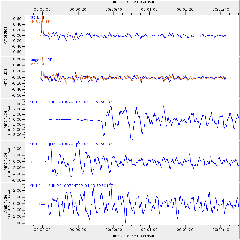
Earthquake location: Near East Coast Of Honshu, Japan
Earthquake latitude/longitude: 39.7/142.4
Earthquake time(UTC): 2010/07/04 (185) 21:55:51 GMT
Earthquake Depth: 27 km
Earthquake Magnitude: 6.4 MB, 6.1 MS, 6.3 MW, 6.2 MW
Earthquake Catalog/Contributor: WHDF/NEIC
Network: KN Kyrgyz Seismic Telemetry Network
Station: UCH KN.UCH
Lat/Lon: 42.23 N/74.51 E
Elevation: 3850 m
Distance: 50.1 deg
Az: 296.2 deg
Baz: 68.759 deg
Ray Param: 0.06826049
Estimated Moho Depth: 55.25 km
Estimated Crust Vp/Vs: 1.66
Assumed Crust Vp: 6.306 km/s
Estimated Crust Vs: 3.799 km/s
Estimated Crust Poisson's Ratio: 0.22
Radial Match: 93.93865 %
Radial Bump: 400
Transverse Match: 86.70757 %
Transverse Bump: 400
SOD ConfigId: 319893
Insert Time: 2011-01-05 00:05:27.438 +0000
GWidth: 2.5
Max Bumps: 400
Tol: 0.001

Signal To Noise

ChannelStoNSTALTA
KN:UCH: :BHZ:20100704T22:04:13.525013Z39.4524882.499722E-66.336032E-8
KN:UCH: :BHN:20100704T22:04:13.525013Z8.5724296.207848E-77.241645E-8
KN:UCH: :BHE:20100704T22:04:13.525013Z25.397521.2448154E-64.901327E-8
Arrivals
Ps6.1 SECOND
PpPs22 SECOND
PsPs/PpSs28 SECOND