F25A Bowman, SD, USA - Earthquake Result Viewer
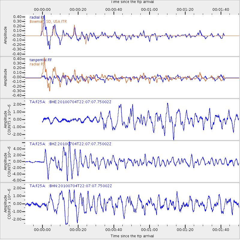
Earthquake location: Near East Coast Of Honshu, Japan
Earthquake latitude/longitude: 39.7/142.4
Earthquake time(UTC): 2010/07/04 (185) 21:55:51 GMT
Earthquake Depth: 27 km
Earthquake Magnitude: 6.4 MB, 6.1 MS, 6.3 MW, 6.2 MW
Earthquake Catalog/Contributor: WHDF/NEIC
Network: TA USArray Transportable Network (new EarthScope stations)
Station: F25A Bowman, SD, USA
Lat/Lon: 45.93 N/103.46 W
Elevation: 912 m
Distance: 76.4 deg
Az: 40.931 deg
Baz: 313.6 deg
Ray Param: 0.05098208
Estimated Moho Depth: 39.25 km
Estimated Crust Vp/Vs: 1.94
Assumed Crust Vp: 6.242 km/s
Estimated Crust Vs: 3.222 km/s
Estimated Crust Poisson's Ratio: 0.32
Radial Match: 94.54765 %
Radial Bump: 309
Transverse Match: 77.72335 %
Transverse Bump: 400
SOD ConfigId: 319893
Insert Time: 2011-01-05 00:26:56.523 +0000
GWidth: 2.5
Max Bumps: 400
Tol: 0.001

Signal To Noise

ChannelStoNSTALTA
TA:F25A: :BHZ:20100704T22:07:07.75002Z17.728272.1389699E-61.2065306E-7
TA:F25A: :BHN:20100704T22:07:07.75002Z2.43799734.6908332E-71.9240518E-7
TA:F25A: :BHE:20100704T22:07:07.75002Z2.59982135.2704314E-72.0272283E-7
Arrivals
Ps6.1 SECOND
PpPs18 SECOND
PsPs/PpSs24 SECOND