
334A Lometa, TX, USA - Earthquake Result Viewer
| ||||||||||||||||||
| ||||||||||||||||||
| ||||||||||||||||||
|
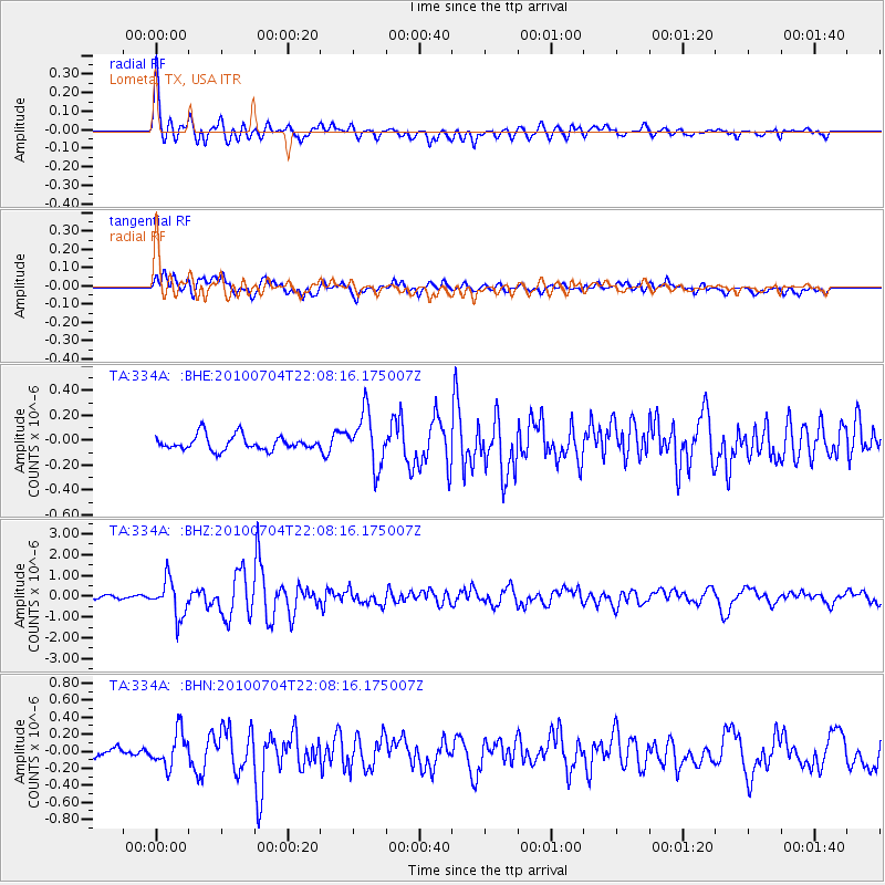
Signal To Noise
| Channel | StoN | STA | LTA |
| TA:334A: :BHZ:20100704T22:08:16.175007Z | 9.686636 | 8.7980203E-7 | 9.082637E-8 |
| TA:334A: :BHN:20100704T22:08:16.175007Z | 3.6536503 | 2.024125E-7 | 5.5400072E-8 |
| TA:334A: :BHE:20100704T22:08:16.175007Z | 3.6930547 | 2.1314875E-7 | 5.771611E-8 |
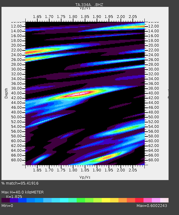
| Arrivals | |
| Ps | 5.2 SECOND |
| PpPs | 17 SECOND |
| PsPs/PpSs | 22 SECOND |

