TPNV Topopah Spring, Nevada, USA - Earthquake Result Viewer
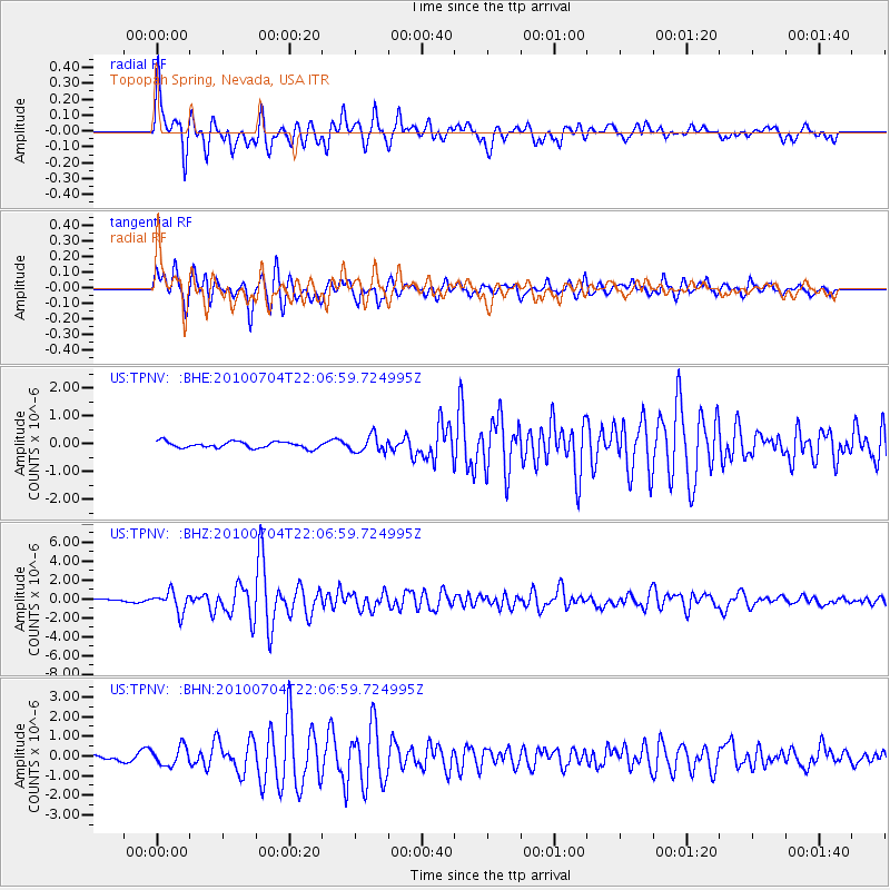
Earthquake location: Near East Coast Of Honshu, Japan
Earthquake latitude/longitude: 39.7/142.4
Earthquake time(UTC): 2010/07/04 (185) 21:55:51 GMT
Earthquake Depth: 27 km
Earthquake Magnitude: 6.4 MB, 6.1 MS, 6.3 MW, 6.2 MW
Earthquake Catalog/Contributor: WHDF/NEIC
Network: US United States National Seismic Network
Station: TPNV Topopah Spring, Nevada, USA
Lat/Lon: 36.95 N/116.25 W
Elevation: 1600 m
Distance: 75.0 deg
Az: 54.395 deg
Baz: 308.46 deg
Ray Param: 0.05192294
Estimated Moho Depth: 19.25 km
Estimated Crust Vp/Vs: 1.91
Assumed Crust Vp: 6.279 km/s
Estimated Crust Vs: 3.283 km/s
Estimated Crust Poisson's Ratio: 0.31
Radial Match: 91.42016 %
Radial Bump: 400
Transverse Match: 82.17858 %
Transverse Bump: 400
SOD ConfigId: 319893
Insert Time: 2011-01-05 00:42:22.865 +0000
GWidth: 2.5
Max Bumps: 400
Tol: 0.001

Signal To Noise

ChannelStoNSTALTA
US:TPNV: :BHZ:20100704T22:06:59.724995Z5.2693851.0709864E-62.0324694E-7
US:TPNV: :BHN:20100704T22:06:59.724995Z1.88824584.7334345E-72.5067894E-7
US:TPNV: :BHE:20100704T22:06:59.724995Z2.60402822.943101E-71.1302109E-7
Arrivals
Ps2.9 SECOND
PpPs8.7 SECOND
PsPs/PpSs12 SECOND