336A Riesel, TX, USA - Earthquake Result Viewer
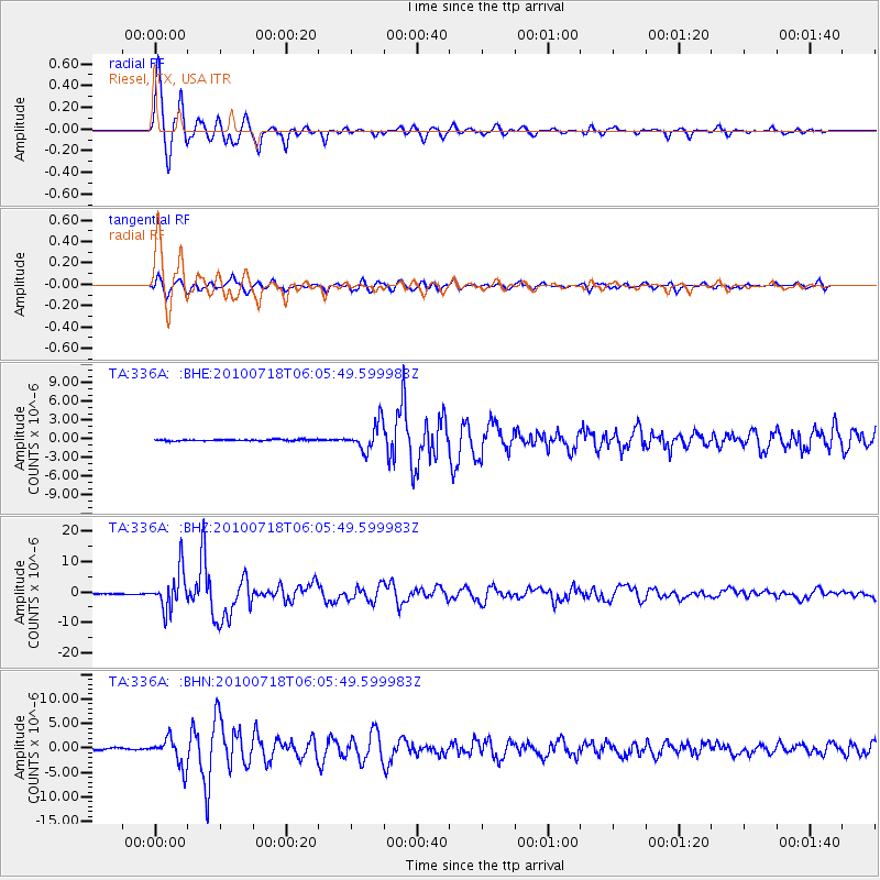
Earthquake location: Fox Islands, Aleutian Islands
Earthquake latitude/longitude: 52.9/-169.8
Earthquake time(UTC): 2010/07/18 (199) 05:56:44 GMT
Earthquake Depth: 14 km
Earthquake Magnitude: 6.3 MB, 6.7 MS, 6.6 MW, 6.6 MW
Earthquake Catalog/Contributor: WHDF/NEIC
Network: TA USArray Transportable Network (new EarthScope stations)
Station: 336A Riesel, TX, USA
Lat/Lon: 31.39 N/96.84 W
Elevation: 140 m
Distance: 55.7 deg
Az: 81.976 deg
Baz: 315.429 deg
Ray Param: 0.064622745
Estimated Moho Depth: 10.5 km
Estimated Crust Vp/Vs: 1.60
Assumed Crust Vp: 6.347 km/s
Estimated Crust Vs: 3.967 km/s
Estimated Crust Poisson's Ratio: 0.18
Radial Match: 98.144264 %
Radial Bump: 354
Transverse Match: 91.86681 %
Transverse Bump: 400
SOD ConfigId: 319893
Insert Time: 2011-01-05 06:07:15.199 +0000
GWidth: 2.5
Max Bumps: 400
Tol: 0.001

Signal To Noise

ChannelStoNSTALTA
TA:336A: :BHZ:20100718T06:05:49.599983Z57.2129636.3057114E-61.1021473E-7
TA:336A: :BHN:20100718T06:05:49.599983Z15.4654062.867633E-61.854224E-7
TA:336A: :BHE:20100718T06:05:49.599983Z20.3932672.1796136E-61.0687908E-7
Arrivals
Ps1.0 SECOND
PpPs4.1 SECOND
PsPs/PpSs5.1 SECOND