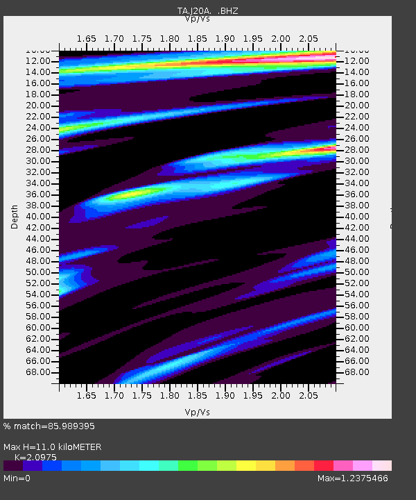
J20A Shoshoni, WY, USA - Earthquake Result Viewer

Earthquake location: Fox Islands, Aleutian Islands
Earthquake latitude/longitude: 52.8/-169.7
Earthquake time(UTC): 2010/07/18 (199) 19:48:04 GMT
Earthquake Depth: 10 km
Earthquake Magnitude: 5.6 MB, 5.6 MS, 6.0 MW, 6.0 MW
Earthquake Catalog/Contributor: WHDF/NEIC
Network: TA USArray Transportable Network (new EarthScope stations)
Station: J20A Shoshoni, WY, USA
Lat/Lon: 43.35 N/108.08 W
Elevation: 1500 m
Distance: 41.1 deg
Az: 77.714 deg
Baz: 305.605 deg
Ray Param: 0.07402584
Estimated Moho Depth: 11.0 km
Estimated Crust Vp/Vs: 2.10
Assumed Crust Vp: 6.161 km/s
Estimated Crust Vs: 2.937 km/s
Estimated Crust Poisson's Ratio: 0.35
Radial Match: 85.989395 %
Radial Bump: 400
Transverse Match: 71.51598 %
Transverse Bump: 400
SOD ConfigId: 319893
Insert Time: 2011-01-05 07:14:47.445 +0000
GWidth: 2.5
Max Bumps: 400
Tol: 0.001

Signal To Noise

ChannelStoNSTALTA
TA:J20A: :BHZ:20100718T19:55:17.30001Z7.92919831.0219145E-61.2887992E-7
TA:J20A: :BHN:20100718T19:55:17.30001Z3.8180483.7603323E-79.848834E-8
TA:J20A: :BHE:20100718T19:55:17.30001Z2.0068222.2266049E-71.10951774E-7
Arrivals
Ps2.1 SECOND
PpPs5.2 SECOND
PsPs/PpSs7.3 SECOND