531A Rocksprings, TX, USA - Earthquake Result Viewer
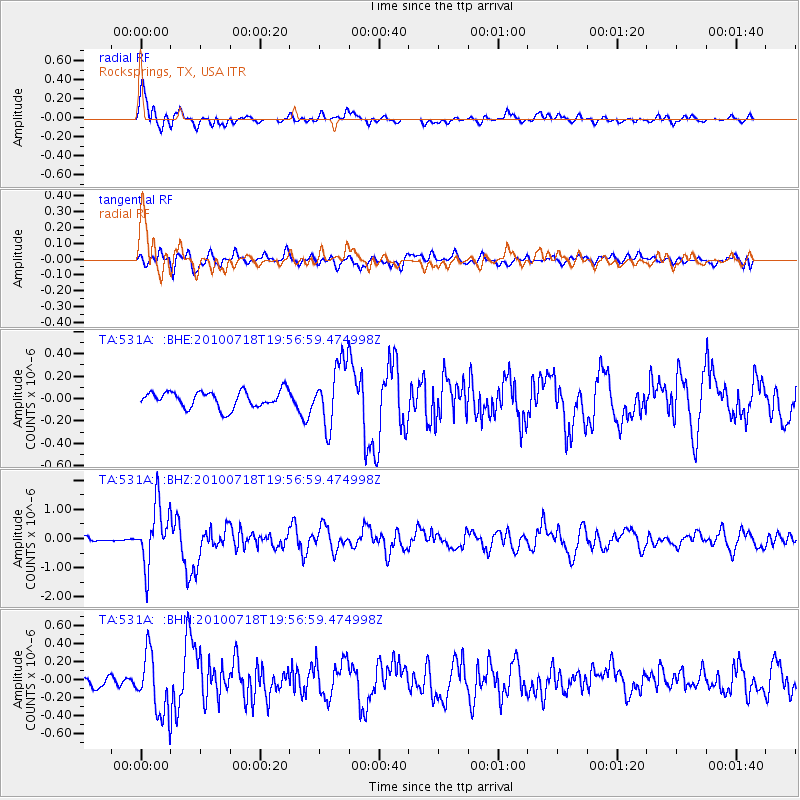
Earthquake location: Fox Islands, Aleutian Islands
Earthquake latitude/longitude: 52.8/-169.7
Earthquake time(UTC): 2010/07/18 (199) 19:48:04 GMT
Earthquake Depth: 10 km
Earthquake Magnitude: 5.6 MB, 5.6 MS, 6.0 MW, 6.0 MW
Earthquake Catalog/Contributor: WHDF/NEIC
Network: TA USArray Transportable Network (new EarthScope stations)
Station: 531A Rocksprings, TX, USA
Lat/Lon: 30.16 N/100.55 W
Elevation: 661 m
Distance: 54.3 deg
Az: 85.849 deg
Baz: 315.652 deg
Ray Param: 0.06556471
Estimated Moho Depth: 11.0 km
Estimated Crust Vp/Vs: 1.60
Assumed Crust Vp: 6.38 km/s
Estimated Crust Vs: 3.988 km/s
Estimated Crust Poisson's Ratio: 0.18
Radial Match: 80.83412 %
Radial Bump: 400
Transverse Match: 68.262 %
Transverse Bump: 400
SOD ConfigId: 319893
Insert Time: 2011-01-05 07:21:47.426 +0000
GWidth: 2.5
Max Bumps: 400
Tol: 0.001

Signal To Noise

ChannelStoNSTALTA
TA:531A: :BHZ:20100718T19:56:59.474998Z9.2116011.014279E-61.10108864E-7
TA:531A: :BHN:20100718T19:56:59.474998Z4.00334263.4184845E-78.539075E-8
TA:531A: :BHE:20100718T19:56:59.474998Z3.78333522.805712E-77.415974E-8
Arrivals
Ps1.1 SECOND
PpPs4.2 SECOND
PsPs/PpSs5.3 SECOND