F28A McLaughlin, SD, USA - Earthquake Result Viewer
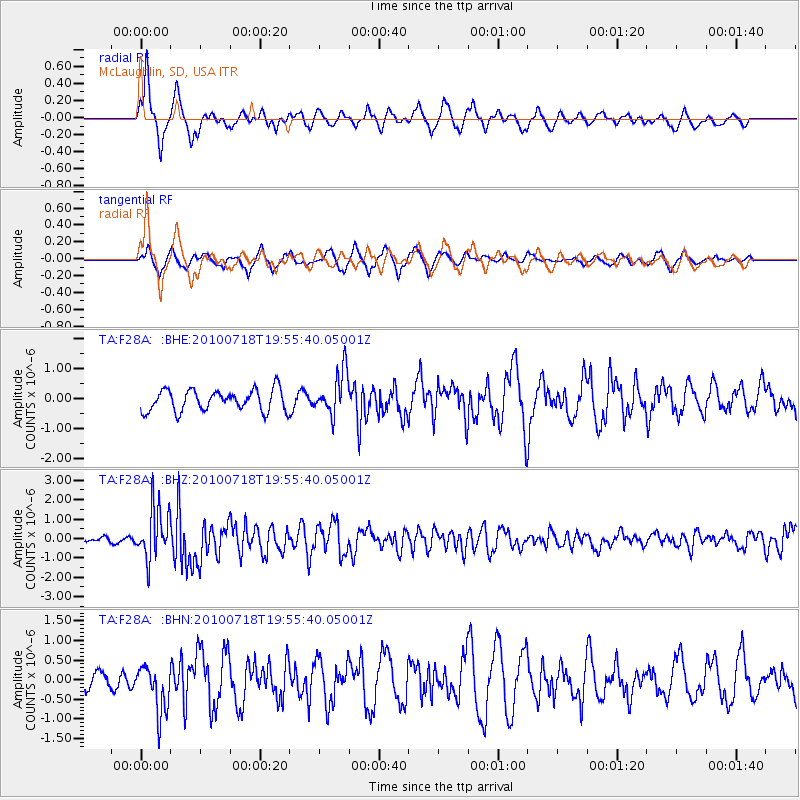
Earthquake location: Fox Islands, Aleutian Islands
Earthquake latitude/longitude: 52.8/-169.7
Earthquake time(UTC): 2010/07/18 (199) 19:48:04 GMT
Earthquake Depth: 10 km
Earthquake Magnitude: 5.6 MB, 5.6 MS, 6.0 MW, 6.0 MW
Earthquake Catalog/Contributor: WHDF/NEIC
Network: TA USArray Transportable Network (new EarthScope stations)
Station: F28A McLaughlin, SD, USA
Lat/Lon: 45.85 N/100.80 W
Elevation: 633 m
Distance: 43.9 deg
Az: 70.241 deg
Baz: 305.189 deg
Ray Param: 0.07227331
Estimated Moho Depth: 41.0 km
Estimated Crust Vp/Vs: 1.88
Assumed Crust Vp: 6.53 km/s
Estimated Crust Vs: 3.483 km/s
Estimated Crust Poisson's Ratio: 0.30
Radial Match: 81.74419 %
Radial Bump: 400
Transverse Match: 64.06092 %
Transverse Bump: 384
SOD ConfigId: 319893
Insert Time: 2011-01-05 07:30:31.963 +0000
GWidth: 2.5
Max Bumps: 400
Tol: 0.001

Signal To Noise

ChannelStoNSTALTA
TA:F28A: :BHZ:20100718T19:55:40.05001Z12.456291.3244726E-61.06329615E-7
TA:F28A: :BHN:20100718T19:55:40.05001Z1.46705946.187009E-74.217286E-7
TA:F28A: :BHE:20100718T19:55:40.05001Z2.0319357.220937E-73.5537244E-7
Arrivals
Ps5.9 SECOND
PpPs17 SECOND
PsPs/PpSs23 SECOND