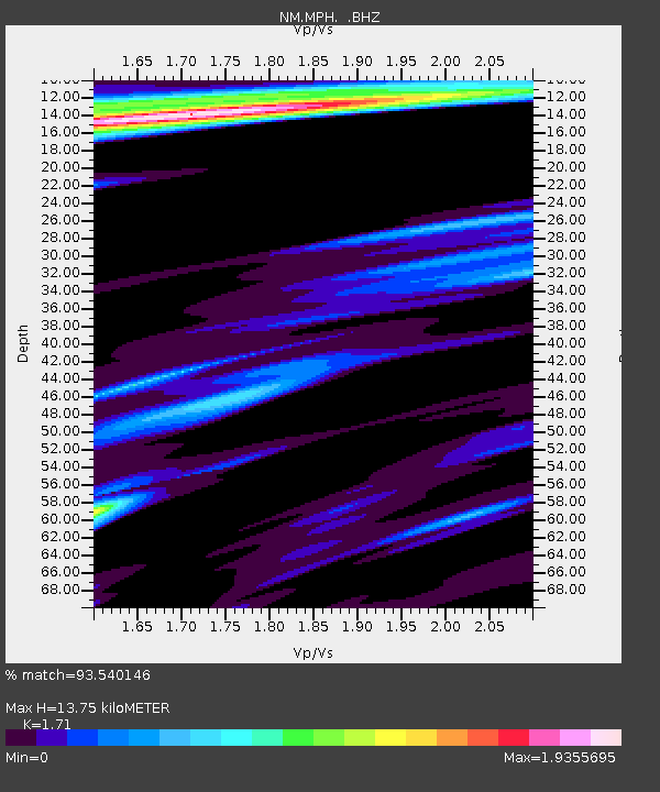
MPH Memphis, TN - Earthquake Result Viewer

Earthquake location: Off East Coast Of Kamchatka
Earthquake latitude/longitude: 52.5/159.8
Earthquake time(UTC): 2010/07/30 (211) 03:56:13 GMT
Earthquake Depth: 23 km
Earthquake Magnitude: 6.1 MB, 6.3 MS, 6.3 MW, 6.3 MW
Earthquake Catalog/Contributor: WHDF/NEIC
Network: NM Cooperative New Madrid Seismic Network
Station: MPH Memphis, TN
Lat/Lon: 35.12 N/89.93 W
Elevation: 93 m
Distance: 73.7 deg
Az: 53.248 deg
Baz: 323.304 deg
Ray Param: 0.052776422
Estimated Moho Depth: 13.75 km
Estimated Crust Vp/Vs: 1.71
Assumed Crust Vp: 6.38 km/s
Estimated Crust Vs: 3.731 km/s
Estimated Crust Poisson's Ratio: 0.24
Radial Match: 93.540146 %
Radial Bump: 338
Transverse Match: 63.93062 %
Transverse Bump: 343
SOD ConfigId: 319893
Insert Time: 2011-01-05 14:27:04.228 +0000
GWidth: 2.5
Max Bumps: 400
Tol: 0.001

Signal To Noise

ChannelStoNSTALTA
NM:MPH: :BHZ:20100730T04:07:14.619973Z15.0769965.8349415E-63.8700955E-7
NM:MPH: :BHN:20100730T04:07:14.619973Z2.18330481.8469315E-68.4593387E-7
NM:MPH: :BHE:20100730T04:07:14.619973Z2.53397152.2618335E-68.9260413E-7
Arrivals
Ps1.6 SECOND
PpPs5.6 SECOND
PsPs/PpSs7.2 SECOND