BVDA2 AZ.BVDA2 - Earthquake Result Viewer
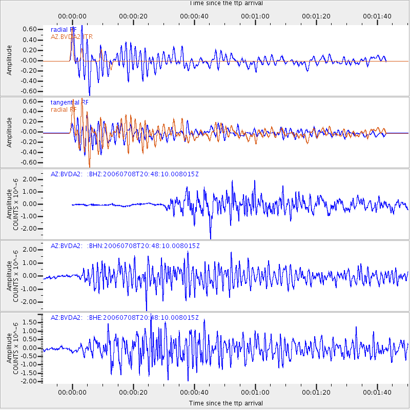
Earthquake location: Andreanof Islands, Aleutian Is.
Earthquake latitude/longitude: 51.2/-179.3
Earthquake time(UTC): 2006/07/08 (189) 20:40:00 GMT
Earthquake Depth: 22 km
Earthquake Magnitude: 6.2 MB, 6.4 MS, 6.6 MW, 6.6 MW
Earthquake Catalog/Contributor: WHDF/NEIC
Network: AZ ANZA Regional Network
Station: BVDA2 AZ.BVDA2
Lat/Lon: 33.33 N/116.37 W
Elevation: 0.0 m
Distance: 48.3 deg
Az: 86.324 deg
Baz: 311.436 deg
Ray Param: 0.06939064
Estimated Moho Depth: 21.5 km
Estimated Crust Vp/Vs: 1.92
Assumed Crust Vp: 6.264 km/s
Estimated Crust Vs: 3.258 km/s
Estimated Crust Poisson's Ratio: 0.31
Radial Match: 84.982025 %
Radial Bump: 400
Transverse Match: 85.65923 %
Transverse Bump: 400
SOD ConfigId: 2665
Insert Time: 2010-02-26 18:39:09.988 +0000
GWidth: 2.5
Max Bumps: 400
Tol: 0.001

Signal To Noise

ChannelStoNSTALTA
AZ:BVDA2: :BHN:20060708T20:48:10.008015Z2.33989721.9964024E-78.532009E-8
AZ:BVDA2: :BHE:20060708T20:48:10.008015Z2.53765061.7826983E-77.0249946E-8
AZ:BVDA2: :BHZ:20060708T20:48:10.008015Z5.7813973.231606E-75.5896635E-8
Arrivals
Ps3.3 SECOND
PpPs9.5 SECOND
PsPs/PpSs13 SECOND