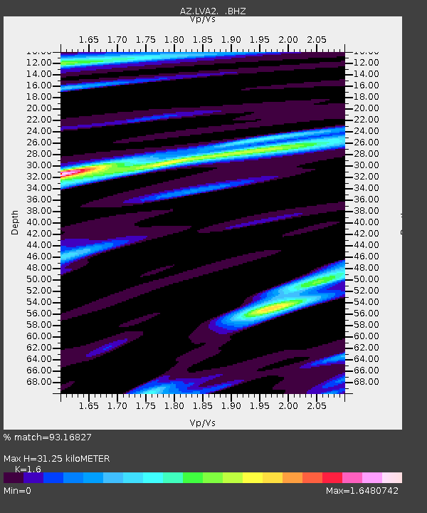
LVA2 AZ.LVA2 - Earthquake Result Viewer

Earthquake location: Andreanof Islands, Aleutian Is.
Earthquake latitude/longitude: 51.4/-175.4
Earthquake time(UTC): 2010/10/08 (281) 03:26:13 GMT
Earthquake Depth: 19 km
Earthquake Magnitude: 6.2 MB, 6.3 MS, 6.4 MW, 6.2 MW
Earthquake Catalog/Contributor: WHDF/NEIC
Network: AZ ANZA Regional Network
Station: LVA2 AZ.LVA2
Lat/Lon: 33.35 N/116.56 W
Elevation: 1435 m
Distance: 45.7 deg
Az: 89.59 deg
Baz: 311.511 deg
Ray Param: 0.07106662
Estimated Moho Depth: 31.25 km
Estimated Crust Vp/Vs: 1.60
Assumed Crust Vp: 6.264 km/s
Estimated Crust Vs: 3.915 km/s
Estimated Crust Poisson's Ratio: 0.18
Radial Match: 93.16827 %
Radial Bump: 400
Transverse Match: 87.330894 %
Transverse Bump: 400
SOD ConfigId: 339645
Insert Time: 2011-02-10 07:37:17.908 +0000
GWidth: 2.5
Max Bumps: 400
Tol: 0.001

Signal To Noise

ChannelStoNSTALTA
AZ:LVA2: :BHZ:20101008T03:34:02.674996Z4.7941651.078411E-62.2494238E-7
AZ:LVA2: :BHN:20101008T03:34:02.674996Z2.8797866.630402E-72.3023941E-7
AZ:LVA2: :BHE:20101008T03:34:02.674996Z3.14136987.9393897E-72.5273656E-7
Arrivals
Ps3.2 SECOND
PpPs12 SECOND
PsPs/PpSs15 SECOND