S29A Ulysses, KS, USA - Earthquake Result Viewer
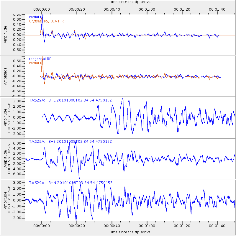
Earthquake location: Andreanof Islands, Aleutian Is.
Earthquake latitude/longitude: 51.4/-175.4
Earthquake time(UTC): 2010/10/08 (281) 03:26:13 GMT
Earthquake Depth: 19 km
Earthquake Magnitude: 6.2 MB, 6.3 MS, 6.4 MW, 6.2 MW
Earthquake Catalog/Contributor: WHDF/NEIC
Network: TA USArray Transportable Network (new EarthScope stations)
Station: S29A Ulysses, KS, USA
Lat/Lon: 37.62 N/101.12 W
Elevation: 931 m
Distance: 52.5 deg
Az: 74.428 deg
Baz: 310.502 deg
Ray Param: 0.066698946
Estimated Moho Depth: 42.75 km
Estimated Crust Vp/Vs: 1.87
Assumed Crust Vp: 6.483 km/s
Estimated Crust Vs: 3.471 km/s
Estimated Crust Poisson's Ratio: 0.30
Radial Match: 95.584465 %
Radial Bump: 400
Transverse Match: 83.35612 %
Transverse Bump: 400
SOD ConfigId: 339645
Insert Time: 2011-02-10 07:57:43.520 +0000
GWidth: 2.5
Max Bumps: 400
Tol: 0.001

Signal To Noise

ChannelStoNSTALTA
TA:S29A: :BHZ:20101008T03:34:54.475015Z13.1521552.2847148E-61.737141E-7
TA:S29A: :BHN:20101008T03:34:54.475015Z3.69099479.84433E-72.6671208E-7
TA:S29A: :BHE:20101008T03:34:54.475015Z3.28336931.2358759E-63.7640476E-7
Arrivals
Ps6.0 SECOND
PpPs18 SECOND
PsPs/PpSs24 SECOND