D27A Center, ND, USA - Earthquake Result Viewer
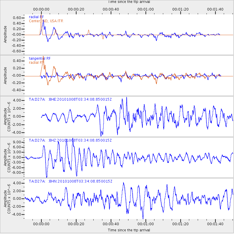
Earthquake location: Andreanof Islands, Aleutian Is.
Earthquake latitude/longitude: 51.4/-175.4
Earthquake time(UTC): 2010/10/08 (281) 03:26:13 GMT
Earthquake Depth: 19 km
Earthquake Magnitude: 6.2 MB, 6.3 MS, 6.4 MW, 6.2 MW
Earthquake Catalog/Contributor: WHDF/NEIC
Network: TA USArray Transportable Network (new EarthScope stations)
Station: D27A Center, ND, USA
Lat/Lon: 47.11 N/101.53 W
Elevation: 685 m
Distance: 46.5 deg
Az: 64.737 deg
Baz: 303.917 deg
Ray Param: 0.0705793
Estimated Moho Depth: 20.75 km
Estimated Crust Vp/Vs: 1.65
Assumed Crust Vp: 6.438 km/s
Estimated Crust Vs: 3.896 km/s
Estimated Crust Poisson's Ratio: 0.21
Radial Match: 85.63501 %
Radial Bump: 400
Transverse Match: 79.52626 %
Transverse Bump: 400
SOD ConfigId: 339645
Insert Time: 2011-02-10 08:01:51.409 +0000
GWidth: 2.5
Max Bumps: 400
Tol: 0.001

Signal To Noise

ChannelStoNSTALTA
TA:D27A: :BHZ:20101008T03:34:08.850015Z19.3264435.2305745E-62.7064343E-7
TA:D27A: :BHN:20101008T03:34:08.850015Z1.95374068.2836505E-74.2398926E-7
TA:D27A: :BHE:20101008T03:34:08.850015Z2.91958572.0965251E-67.1808995E-7
Arrivals
Ps2.2 SECOND
PpPs8.0 SECOND
PsPs/PpSs10 SECOND