K04D Chiloquin, OR, USA - Earthquake Result Viewer
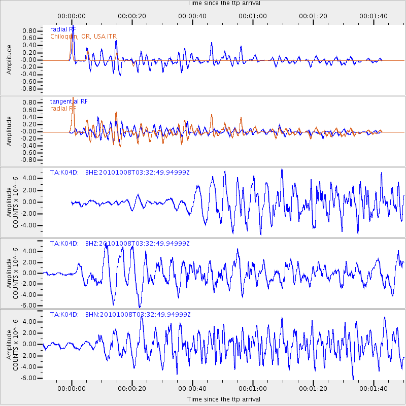
Earthquake location: Andreanof Islands, Aleutian Is.
Earthquake latitude/longitude: 51.4/-175.4
Earthquake time(UTC): 2010/10/08 (281) 03:26:13 GMT
Earthquake Depth: 19 km
Earthquake Magnitude: 6.2 MB, 6.3 MS, 6.4 MW, 6.2 MW
Earthquake Catalog/Contributor: WHDF/NEIC
Network: TA USArray Transportable Network (new EarthScope stations)
Station: K04D Chiloquin, OR, USA
Lat/Lon: 42.62 N/121.75 W
Elevation: 1315 m
Distance: 36.8 deg
Az: 82.17 deg
Baz: 302.721 deg
Ray Param: 0.076434545
Estimated Moho Depth: 60.75 km
Estimated Crust Vp/Vs: 1.73
Assumed Crust Vp: 6.597 km/s
Estimated Crust Vs: 3.825 km/s
Estimated Crust Poisson's Ratio: 0.25
Radial Match: 90.30071 %
Radial Bump: 400
Transverse Match: 81.70706 %
Transverse Bump: 400
SOD ConfigId: 339645
Insert Time: 2011-02-10 08:05:43.117 +0000
GWidth: 2.5
Max Bumps: 400
Tol: 0.001

Signal To Noise

ChannelStoNSTALTA
TA:K04D: :BHZ:20101008T03:32:49.94999Z5.61742641.111462E-61.9785965E-7
TA:K04D: :BHN:20101008T03:32:49.94999Z1.33105814.484371E-73.3690273E-7
TA:K04D: :BHE:20101008T03:32:49.94999Z1.20693225.4377347E-74.5054188E-7
Arrivals
Ps7.2 SECOND
PpPs23 SECOND
PsPs/PpSs30 SECOND