I33A Coleman, SD, USA - Earthquake Result Viewer
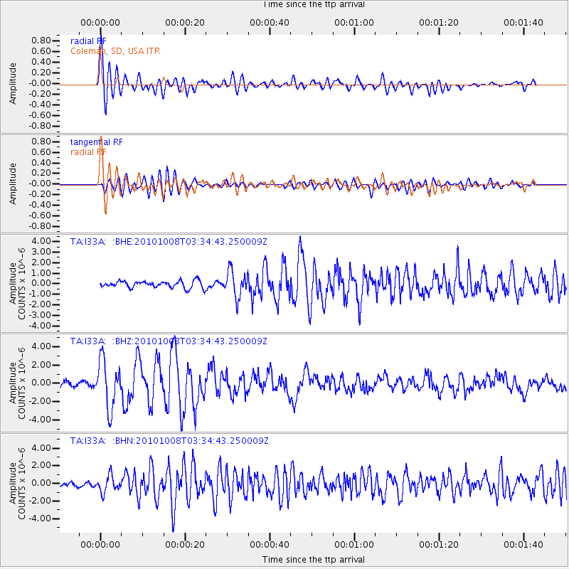
Earthquake location: Andreanof Islands, Aleutian Is.
Earthquake latitude/longitude: 51.4/-175.4
Earthquake time(UTC): 2010/10/08 (281) 03:26:13 GMT
Earthquake Depth: 19 km
Earthquake Magnitude: 6.2 MB, 6.3 MS, 6.4 MW, 6.2 MW
Earthquake Catalog/Contributor: WHDF/NEIC
Network: TA USArray Transportable Network (new EarthScope stations)
Station: I33A Coleman, SD, USA
Lat/Lon: 44.05 N/96.80 W
Elevation: 509 m
Distance: 51.0 deg
Az: 65.45 deg
Baz: 307.754 deg
Ray Param: 0.067673445
Estimated Moho Depth: 13.75 km
Estimated Crust Vp/Vs: 2.01
Assumed Crust Vp: 6.552 km/s
Estimated Crust Vs: 3.264 km/s
Estimated Crust Poisson's Ratio: 0.33
Radial Match: 88.01083 %
Radial Bump: 400
Transverse Match: 81.918106 %
Transverse Bump: 400
SOD ConfigId: 339645
Insert Time: 2011-02-10 08:12:10.866 +0000
GWidth: 2.5
Max Bumps: 400
Tol: 0.001

Signal To Noise

ChannelStoNSTALTA
TA:I33A: :BHZ:20101008T03:34:43.250009Z10.3579522.6512967E-62.5596725E-7
TA:I33A: :BHN:20101008T03:34:43.250009Z3.68370659.47398E-72.5718606E-7
TA:I33A: :BHE:20101008T03:34:43.250009Z3.913711.2686236E-63.2414857E-7
Arrivals
Ps2.2 SECOND
PpPs6.0 SECOND
PsPs/PpSs8.2 SECOND