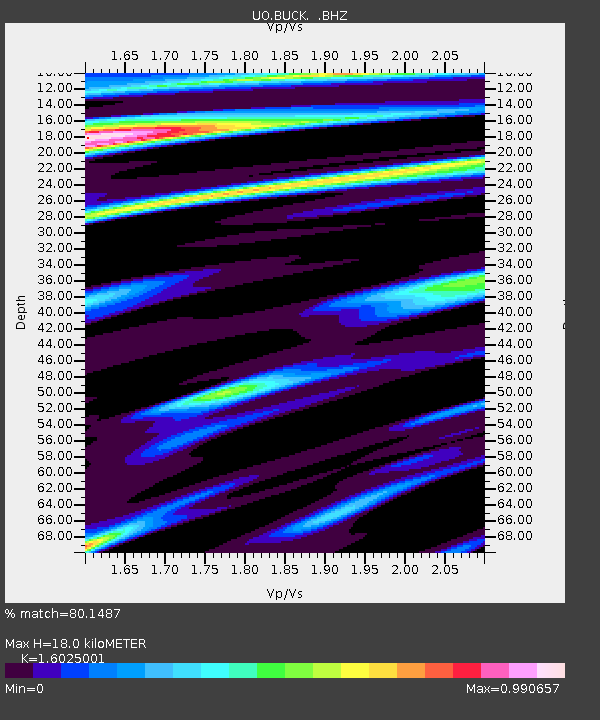
BUCK Buck Mountain, OR - Earthquake Result Viewer

Earthquake location: Andreanof Islands, Aleutian Is.
Earthquake latitude/longitude: 51.4/-175.4
Earthquake time(UTC): 2010/10/08 (281) 03:26:13 GMT
Earthquake Depth: 19 km
Earthquake Magnitude: 6.2 MB, 6.3 MS, 6.4 MW, 6.2 MW
Earthquake Catalog/Contributor: WHDF/NEIC
Network: UO University of Oregon Regional Network
Station: BUCK Buck Mountain, OR
Lat/Lon: 44.20 N/122.99 W
Elevation: 964 m
Distance: 35.3 deg
Az: 80.7 deg
Baz: 300.688 deg
Ray Param: 0.07729612
Estimated Moho Depth: 18.0 km
Estimated Crust Vp/Vs: 1.60
Assumed Crust Vp: 6.566 km/s
Estimated Crust Vs: 4.097 km/s
Estimated Crust Poisson's Ratio: 0.18
Radial Match: 80.1487 %
Radial Bump: 255
Transverse Match: 63.416927 %
Transverse Bump: 400
SOD ConfigId: 339645
Insert Time: 2011-02-10 08:16:46.251 +0000
GWidth: 2.5
Max Bumps: 400
Tol: 0.001

Signal To Noise

ChannelStoNSTALTA
UO:BUCK: :BHZ:20101008T03:32:36.370004Z2.84696411.389776E-64.881607E-7
UO:BUCK: :BHN:20101008T03:32:36.370004Z1.0693655.5677367E-75.206582E-7
UO:BUCK: :BHE:20101008T03:32:36.370004Z0.760078434.1599986E-75.4731174E-7
Arrivals
Ps1.8 SECOND
PpPs6.5 SECOND
PsPs/PpSs8.3 SECOND