DUBY Mt Kring, Antarctica - Earthquake Result Viewer
Earthquake location: Near Coast Of Northern Chile
Earthquake latitude/longitude: -20.7/-70.6
Earthquake time(UTC): 2014/01/08 (008) 04:22:10 GMT
Earthquake Depth: 20 km
Earthquake Magnitude: 5.7 MWW, 5.6 MWB, 5.6 MWR, 5.7 MWC
Earthquake Catalog/Contributor: NEIC PDE/NEIC COMCAT
Network: ZJ Transantarctic Mountains Northern Network
Station: DUBY Mt Kring, Antarctica
Lat/Lon: 74.99 S/158.08 E
Elevation: 1508 m
Distance: 79.7 deg
Az: 191.484 deg
Baz: 134.374 deg
Ray Param: 0.048771925
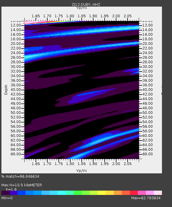
Estimated Moho Depth: 10.5 km
Estimated Crust Vp/Vs: 1.60
Assumed Crust Vp: 6.182 km/s
Estimated Crust Vs: 3.863 km/s
Estimated Crust Poisson's Ratio: 0.18
Radial Match: 96.846634 %
Radial Bump: 268
Transverse Match: 95.607506 %
Transverse Bump: 238
SOD ConfigId: 3390531
Insert Time: 2019-04-09 22:27:53.210 +0000
GWidth: 2.5
Max Bumps: 400
Tol: 0.001

Signal To Noise

ChannelStoNSTALTA
ZJ:DUBY: :HHZ:20140108T04:33:44.839973Z1.21411851.9332078E-61.5922727E-6
ZJ:DUBY: :HHN:20140108T04:33:44.839973Z1.17866387.663791E-56.5021006E-5
ZJ:DUBY: :HHE:20140108T04:33:44.839973Z1.21959411.3799127E-41.1314524E-4
Arrivals
Ps1.0 SECOND
PpPs4.3 SECOND
PsPs/PpSs5.3 SECOND