TOO Toolangi, Victoria - Earthquake Result Viewer
Earthquake location: Near North Coast Of Irian Jaya
Earthquake latitude/longitude: -2.0/139.0
Earthquake time(UTC): 2010/11/16 (320) 01:39:42 GMT
Earthquake Depth: 13 km
Earthquake Magnitude: 5.8 MB, 5.6 MS, 5.9 MW, 5.8 MW
Earthquake Catalog/Contributor: WHDF/NEIC
Network: AU Australian Seismological Centre
Station: TOO Toolangi, Victoria
Lat/Lon: 37.57 S/145.49 E
Elevation: 604 m
Distance: 35.9 deg
Az: 171.214 deg
Baz: 348.923 deg
Ray Param: 0.07696279
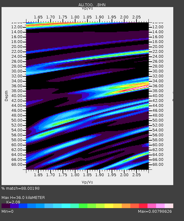
Estimated Moho Depth: 36.0 km
Estimated Crust Vp/Vs: 2.09
Assumed Crust Vp: 6.577 km/s
Estimated Crust Vs: 3.147 km/s
Estimated Crust Poisson's Ratio: 0.35
Radial Match: 88.00198 %
Radial Bump: 368
Transverse Match: 70.88321 %
Transverse Bump: 400
SOD ConfigId: 343951
Insert Time: 2011-05-23 20:02:09.743 +0000
GWidth: 2.5
Max Bumps: 400
Tol: 0.001

Signal To Noise

ChannelStoNSTALTA
AU:TOO: :BHZ:20101116T01:46:11.82001Z2.31280047.1433743E-73.0886255E-7
AU:TOO: :BHN:20101116T01:46:11.82001Z2.36737284.853897E-72.0503306E-7
AU:TOO: :BHE:20101116T01:46:11.82001Z0.445582939.206155E-82.0660924E-7
Arrivals
Ps6.4 SECOND
PpPs16 SECOND
PsPs/PpSs22 SECOND