XMIS Christmas Island Grants Well - Earthquake Result Viewer
Earthquake location: New Britain Region, P.N.G.
Earthquake latitude/longitude: -6.0/150.0
Earthquake time(UTC): 2010/12/02 (336) 03:12:09 GMT
Earthquake Depth: 33 km
Earthquake Magnitude: 5.9 MB, 6.7 MS, 6.6 MW, 6.6 MW
Earthquake Catalog/Contributor: WHDF/NEIC
Network: AU Australian Seismological Centre
Station: XMIS Christmas Island Grants Well
Lat/Lon: 10.48 S/105.65 E
Elevation: 210 m
Distance: 44.1 deg
Az: 261.176 deg
Baz: 87.821 deg
Ray Param: 0.072083056
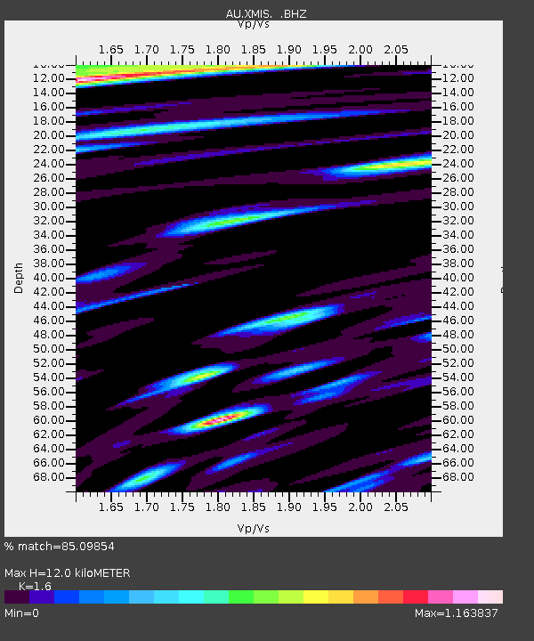
Estimated Moho Depth: 12.0 km
Estimated Crust Vp/Vs: 1.60
Assumed Crust Vp: 4.157 km/s
Estimated Crust Vs: 2.598 km/s
Estimated Crust Poisson's Ratio: 0.18
Radial Match: 85.09854 %
Radial Bump: 392
Transverse Match: 63.771397 %
Transverse Bump: 400
SOD ConfigId: 343951
Insert Time: 2011-05-24 03:37:51.806 +0000
GWidth: 2.5
Max Bumps: 400
Tol: 0.001

Signal To Noise

ChannelStoNSTALTA
AU:XMIS: :BHZ:20101202T03:19:44.070Z4.98642162.6625808E-65.339662E-7
AU:XMIS: :BHN:20101202T03:19:44.070Z0.42845145.0670434E-71.1826414E-6
AU:XMIS: :BHE:20101202T03:19:44.070Z2.39953021.6384029E-66.828015E-7
Arrivals
Ps1.8 SECOND
PpPs7.3 SECOND
PsPs/PpSs9.1 SECOND