SPB3 SPITSBERGEN ARRAY SITE B3, SVALBARD - Earthquake Result Viewer
Earthquake location: Near East Coast Of Kamchatka
Earthquake latitude/longitude: 55.9/162.1
Earthquake time(UTC): 2011/02/20 (051) 21:43:24 GMT
Earthquake Depth: 33 km
Earthquake Magnitude: 6.1 MB, 5.9 MS, 6.2 MW, 5.9 MW
Earthquake Catalog/Contributor: WHDF/NEIC
Network: NO Norwegian Seismic Array Network
Station: SPB3 SPITSBERGEN ARRAY SITE B3, SVALBARD
Lat/Lon: 78.17 N/16.36 E
Elevation: 234 m
Distance: 44.5 deg
Az: 350.476 deg
Baz: 26.846 deg
Ray Param: 0.071787715
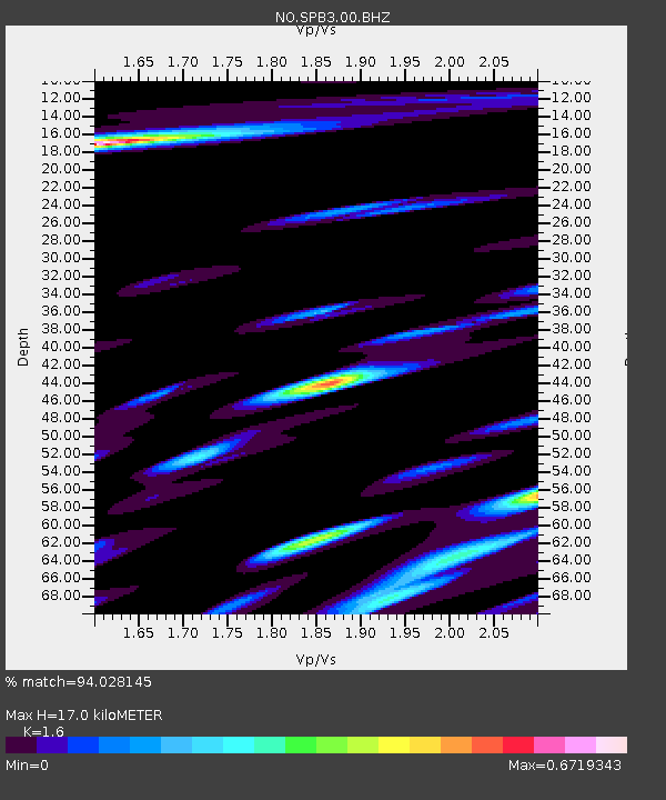
Estimated Moho Depth: 17.0 km
Estimated Crust Vp/Vs: 1.60
Assumed Crust Vp: 6.545 km/s
Estimated Crust Vs: 4.091 km/s
Estimated Crust Poisson's Ratio: 0.18
Radial Match: 94.028145 %
Radial Bump: 400
Transverse Match: 84.771736 %
Transverse Bump: 400
SOD ConfigId: 353373
Insert Time: 2011-07-30 08:07:38.831 +0000
GWidth: 2.5
Max Bumps: 400
Tol: 0.001

Signal To Noise

ChannelStoNSTALTA
NO:SPB3:00:BHZ:20110220T21:51:02.212012Z19.1864531.9420597E-61.01220365E-7
NO:SPB3:00:BHN:20110220T21:51:02.212012Z9.9610258.9334463E-78.9684E-8
NO:SPB3:00:BHE:20110220T21:51:02.212988Z4.30666644.5932333E-71.06654035E-7
Arrivals
Ps1.7 SECOND
PpPs6.3 SECOND
PsPs/PpSs7.9 SECOND