KNW AZ.KNW - Earthquake Result Viewer
Earthquake location: Southeast Of Loyalty Islands
Earthquake latitude/longitude: -22.3/170.9
Earthquake time(UTC): 1998/01/04 (004) 06:11:58 GMT
Earthquake Depth: 101 km
Earthquake Magnitude: 6.4 MB, 7.4 UNKNOWN, 7.3 ME
Earthquake Catalog/Contributor: WHDF/NEIC
Network: AZ ANZA Regional Network
Station: KNW AZ.KNW
Lat/Lon: 33.71 N/116.71 W
Elevation: 1507 m
Distance: 88.6 deg
Az: 52.624 deg
Baz: 241.996 deg
Ray Param: 0.042290963
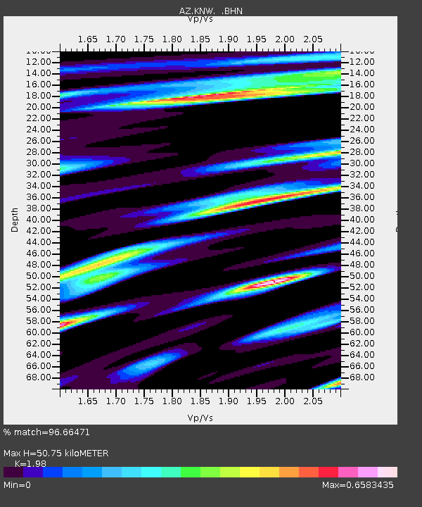
Estimated Moho Depth: 50.75 km
Estimated Crust Vp/Vs: 1.98
Assumed Crust Vp: 6.264 km/s
Estimated Crust Vs: 3.163 km/s
Estimated Crust Poisson's Ratio: 0.33
Radial Match: 96.66471 %
Radial Bump: 390
Transverse Match: 88.65796 %
Transverse Bump: 400
SOD ConfigId: 9875
Insert Time: 2010-02-26 19:33:22.308 +0000
GWidth: 2.5
Max Bumps: 400
Tol: 0.001

Signal To Noise

ChannelStoNSTALTA
AZ:KNW: :BHN:19980104T06:24:09.123999Z0.810572151.2348728E-71.5234583E-7
AZ:KNW: :BHE:19980104T06:24:09.123999Z0.51124721.7285451E-73.3810358E-7
AZ:KNW: :BHZ:19980104T06:24:09.123999Z2.09160074.791913E-72.2910268E-7
Arrivals
Ps8.1 SECOND
PpPs24 SECOND
PsPs/PpSs32 SECOND