KOM Kota Tinggi - Earthquake Result Viewer
Earthquake location: Solomon Islands
Earthquake latitude/longitude: -10.3/160.8
Earthquake time(UTC): 2011/03/07 (066) 00:09:36 GMT
Earthquake Depth: 22 km
Earthquake Magnitude: 6.2 MB, 6.6 MS, 6.4 MW, 6.4 MW
Earthquake Catalog/Contributor: WHDF/NEIC
Network: MY Malaysian National Seismic Network
Station: KOM Kota Tinggi
Lat/Lon: 1.79 N/103.85 E
Elevation: 49 m
Distance: 57.9 deg
Az: 278.685 deg
Baz: 103.312 deg
Ray Param: 0.063160196
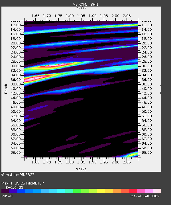
Estimated Moho Depth: 35.25 km
Estimated Crust Vp/Vs: 1.64
Assumed Crust Vp: 6.24 km/s
Estimated Crust Vs: 3.799 km/s
Estimated Crust Poisson's Ratio: 0.21
Radial Match: 95.3537 %
Radial Bump: 400
Transverse Match: 76.80443 %
Transverse Bump: 400
SOD ConfigId: 354511
Insert Time: 2011-08-09 10:19:33.984 +0000
GWidth: 2.5
Max Bumps: 400
Tol: 0.001

Signal To Noise

ChannelStoNSTALTA
MY:KOM: :BHZ:20110307T00:18:55.770007Z25.2447852.3779494E-69.419566E-8
MY:KOM: :BHN:20110307T00:18:55.770007Z2.82346153.61015E-71.2786255E-7
MY:KOM: :BHE:20110307T00:18:55.770007Z9.8937121.0385446E-61.0497017E-7
Arrivals
Ps3.8 SECOND
PpPs14 SECOND
PsPs/PpSs18 SECOND