Q29A Oakley, KS, USA - Earthquake Result Viewer
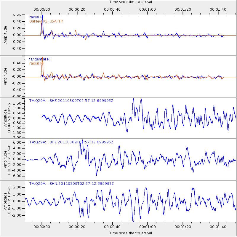
Earthquake location: Near East Coast Of Honshu, Japan
Earthquake latitude/longitude: 38.4/142.8
Earthquake time(UTC): 2011/03/09 (068) 02:45:20 GMT
Earthquake Depth: 32 km
Earthquake Magnitude: 6.4 MB, 7.3 MS, 7.5 MW, 7.3 MW
Earthquake Catalog/Contributor: WHDF/NEIC
Network: TA USArray Transportable Network (new EarthScope stations)
Station: Q29A Oakley, KS, USA
Lat/Lon: 38.89 N/100.98 W
Elevation: 895 m
Distance: 83.3 deg
Az: 44.843 deg
Baz: 314.795 deg
Ray Param: 0.046245333
Estimated Moho Depth: 45.25 km
Estimated Crust Vp/Vs: 1.74
Assumed Crust Vp: 6.483 km/s
Estimated Crust Vs: 3.726 km/s
Estimated Crust Poisson's Ratio: 0.25
Radial Match: 91.76192 %
Radial Bump: 376
Transverse Match: 71.17296 %
Transverse Bump: 400
SOD ConfigId: 354511
Insert Time: 2011-08-09 12:15:09.090 +0000
GWidth: 2.5
Max Bumps: 400
Tol: 0.001

Signal To Noise

ChannelStoNSTALTA
TA:Q29A: :BHZ:20110309T02:57:12.699995Z2.492826.227612E-72.4982197E-7
TA:Q29A: :BHN:20110309T02:57:12.699995Z0.85210692.496871E-72.9302322E-7
TA:Q29A: :BHE:20110309T02:57:12.699995Z0.76595352.0600065E-72.6894668E-7
Arrivals
Ps5.3 SECOND
PpPs19 SECOND
PsPs/PpSs24 SECOND