LVA2 AZ.LVA2 - Earthquake Result Viewer
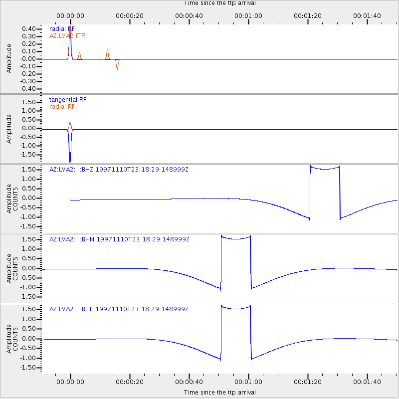
Earthquake location: Southeast Of Honshu, Japan
Earthquake latitude/longitude: 31.2/140.5
Earthquake time(UTC): 1997/11/10 (314) 23:06:44 GMT
Earthquake Depth: 86 km
Earthquake Magnitude: 5.8 MB, 6.1 UNKNOWN, 6.1 MW
Earthquake Catalog/Contributor: WHDF/NEIC
Network: AZ ANZA Regional Network
Station: LVA2 AZ.LVA2
Lat/Lon: 33.35 N/116.56 W
Elevation: 1435 m
Distance: 83.0 deg
Az: 55.262 deg
Baz: 302.711 deg
Ray Param: 0.0462899
Estimated Moho Depth: 10.0 km
Estimated Crust Vp/Vs: 1.60
Assumed Crust Vp: 6.264 km/s
Estimated Crust Vs: 3.915 km/s
Estimated Crust Poisson's Ratio: 0.18
Radial Match: 100.0 %
Radial Bump: 2
Transverse Match: 100.0 %
Transverse Bump: 2
SOD ConfigId: 9875
Insert Time: 2010-02-26 19:48:40.713 +0000
GWidth: 2.5
Max Bumps: 400
Tol: 0.001

Signal To Noise

ChannelStoNSTALTA
AZ:LVA2: :BHN:19971110T23:18:29.148999Z1.80089490.0272643230.015139319
AZ:LVA2: :BHE:19971110T23:18:29.148999Z1.80089860.0272644870.01513938
AZ:LVA2: :BHZ:19971110T23:18:29.148999Z1.80092730.0272648220.015139325
Arrivals
Ps1.0 SECOND
PpPs4.0 SECOND
PsPs/PpSs5.0 SECOND