STN05 Z - Earthquake Result Viewer
Earthquake location: North Atlantic Ocean
Earthquake latitude/longitude: 14.7/-58.9
Earthquake time(UTC): 2014/02/18 (049) 09:27:13 GMT
Earthquake Depth: 17 km
Earthquake Magnitude: 6.5 MWW, 6.3 MWB, 6.5 MWC, 6.6 MWC, 6.7 MI
Earthquake Catalog/Contributor: NEIC PDE/NEIC COMCAT
Network: NX Nanometrics Research Network
Station: STN05 Z
Lat/Lon: 35.85 N/96.64 W
Elevation: 285 m
Distance: 39.8 deg
Az: 309.023 deg
Baz: 112.248 deg
Ray Param: 0.074773036
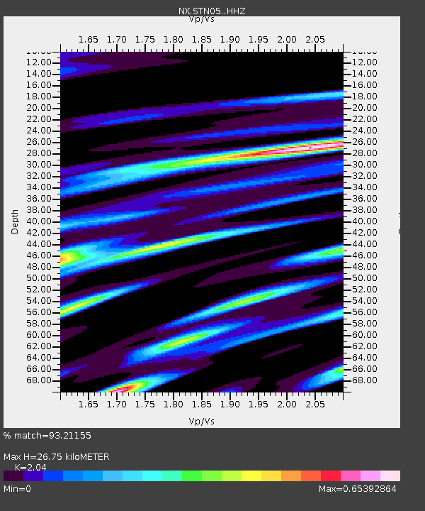
Estimated Moho Depth: 26.75 km
Estimated Crust Vp/Vs: 2.04
Assumed Crust Vp: 6.426 km/s
Estimated Crust Vs: 3.15 km/s
Estimated Crust Poisson's Ratio: 0.34
Radial Match: 93.21155 %
Radial Bump: 337
Transverse Match: 70.51135 %
Transverse Bump: 400
SOD ConfigId: 3390531
Insert Time: 2019-04-10 09:12:14.664 +0000
GWidth: 2.5
Max Bumps: 400
Tol: 0.001

Signal To Noise

ChannelStoNSTALTA
NX:STN05: :HHZ:20140218T09:34:14.559991Z9.0617634.028133E-64.4451977E-7
NX:STN05: :HH1:20140218T09:34:14.559991Z1.74342627.8574857E-74.5069217E-7
NX:STN05: :HH2:20140218T09:34:14.559991Z3.70708371.2628643E-63.4066247E-7
Arrivals
Ps4.6 SECOND
PpPs12 SECOND
PsPs/PpSs17 SECOND