S37A Fort Scott, KS, USA - Earthquake Result Viewer
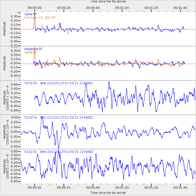
Earthquake location: Off East Coast Of Honshu, Japan
Earthquake latitude/longitude: 37.6/142.6
Earthquake time(UTC): 2011/03/12 (071) 01:47:15 GMT
Earthquake Depth: 20 km
Earthquake Magnitude: 6.2 MB, 6.4 MS, 6.5 MW, 6.5 MW
Earthquake Catalog/Contributor: WHDF/NEIC
Network: TA USArray Transportable Network (new EarthScope stations)
Station: S37A Fort Scott, KS, USA
Lat/Lon: 37.76 N/94.83 W
Elevation: 260 m
Distance: 88.2 deg
Az: 41.96 deg
Baz: 317.926 deg
Ray Param: 0.042769186
Estimated Moho Depth: 38.0 km
Estimated Crust Vp/Vs: 2.04
Assumed Crust Vp: 6.53 km/s
Estimated Crust Vs: 3.201 km/s
Estimated Crust Poisson's Ratio: 0.34
Radial Match: 86.801605 %
Radial Bump: 385
Transverse Match: 61.65047 %
Transverse Bump: 400
SOD ConfigId: 356183
Insert Time: 2011-08-19 09:01:20.892 +0000
GWidth: 2.5
Max Bumps: 400
Tol: 0.001

Signal To Noise

ChannelStoNSTALTA
TA:S37A: :BHZ:20110312T01:59:33.324988Z5.986831.2869571E-62.1496467E-7
TA:S37A: :BHN:20110312T01:59:33.324988Z1.62684673.5171578E-72.1619479E-7
TA:S37A: :BHE:20110312T01:59:33.324988Z1.14436391.8395886E-71.6075205E-7
Arrivals
Ps6.2 SECOND
PpPs17 SECOND
PsPs/PpSs24 SECOND