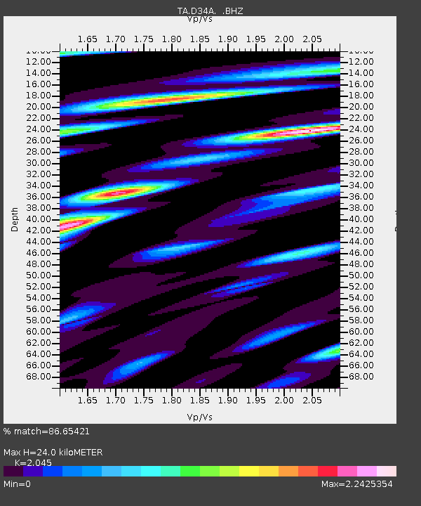
D34A Park Rapids, MN, USA - Earthquake Result Viewer

Earthquake location: Off East Coast Of Honshu, Japan
Earthquake latitude/longitude: 37.6/142.6
Earthquake time(UTC): 2011/03/12 (071) 01:47:15 GMT
Earthquake Depth: 20 km
Earthquake Magnitude: 6.2 MB, 6.4 MS, 6.5 MW, 6.5 MW
Earthquake Catalog/Contributor: WHDF/NEIC
Network: TA USArray Transportable Network (new EarthScope stations)
Station: D34A Park Rapids, MN, USA
Lat/Lon: 47.09 N/95.20 W
Elevation: 476 m
Distance: 81.1 deg
Az: 35.843 deg
Baz: 317.105 deg
Ray Param: 0.04780172
Estimated Moho Depth: 24.0 km
Estimated Crust Vp/Vs: 2.05
Assumed Crust Vp: 6.419 km/s
Estimated Crust Vs: 3.139 km/s
Estimated Crust Poisson's Ratio: 0.34
Radial Match: 86.65421 %
Radial Bump: 400
Transverse Match: 62.07547 %
Transverse Bump: 400
SOD ConfigId: 356183
Insert Time: 2011-08-19 09:13:28.882 +0000
GWidth: 2.5
Max Bumps: 400
Tol: 0.001

Signal To Noise

ChannelStoNSTALTA
TA:D34A: :BHZ:20110312T01:58:57.800024Z13.5474081.7954669E-61.3253212E-7
TA:D34A: :BHN:20110312T01:58:57.800024Z4.2997378.5352497E-71.9850633E-7
TA:D34A: :BHE:20110312T01:58:57.800024Z3.56285935.9862435E-71.6801796E-7
Arrivals
Ps4.0 SECOND
PpPs11 SECOND
PsPs/PpSs15 SECOND