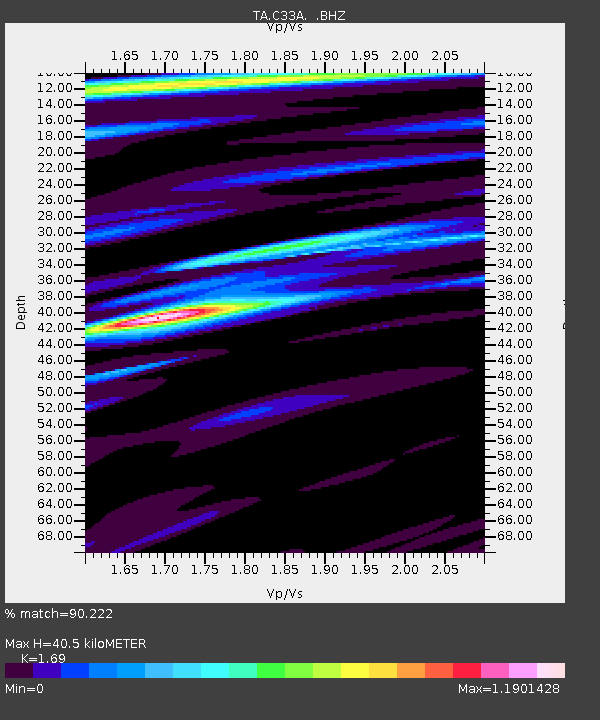
C33A Trail, MN, USA - Earthquake Result Viewer

Earthquake location: Off East Coast Of Honshu, Japan
Earthquake latitude/longitude: 37.6/142.6
Earthquake time(UTC): 2011/03/12 (071) 01:47:15 GMT
Earthquake Depth: 20 km
Earthquake Magnitude: 6.2 MB, 6.4 MS, 6.5 MW, 6.5 MW
Earthquake Catalog/Contributor: WHDF/NEIC
Network: TA USArray Transportable Network (new EarthScope stations)
Station: C33A Trail, MN, USA
Lat/Lon: 47.76 N/95.77 W
Elevation: 388 m
Distance: 80.3 deg
Az: 35.667 deg
Baz: 316.653 deg
Ray Param: 0.048321232
Estimated Moho Depth: 40.5 km
Estimated Crust Vp/Vs: 1.69
Assumed Crust Vp: 6.419 km/s
Estimated Crust Vs: 3.798 km/s
Estimated Crust Poisson's Ratio: 0.23
Radial Match: 90.222 %
Radial Bump: 400
Transverse Match: 65.48769 %
Transverse Bump: 400
SOD ConfigId: 356183
Insert Time: 2011-08-19 09:13:30.029 +0000
GWidth: 2.5
Max Bumps: 400
Tol: 0.001

Signal To Noise

ChannelStoNSTALTA
TA:C33A: :BHZ:20110312T01:58:53.749976Z11.8450911.783636E-61.5058018E-7
TA:C33A: :BHN:20110312T01:58:53.749976Z1.95582073.7648454E-71.9249441E-7
TA:C33A: :BHE:20110312T01:58:53.749976Z3.9970744.472288E-71.1188905E-7
Arrivals
Ps4.5 SECOND
PpPs16 SECOND
PsPs/PpSs21 SECOND