TIR Tirana, Albania - Earthquake Result Viewer
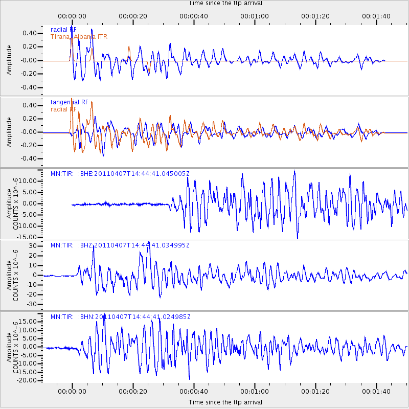
Earthquake location: Near East Coast Of Honshu, Japan
Earthquake latitude/longitude: 38.3/141.6
Earthquake time(UTC): 2011/04/07 (097) 14:32:43 GMT
Earthquake Depth: 42 km
Earthquake Magnitude: 6.9 MB, 7.0 MS, 7.1 MW, 7.1 MW
Earthquake Catalog/Contributor: WHDF/NEIC
Network: MN MEDNET Project
Station: TIR Tirana, Albania
Lat/Lon: 41.35 N/19.86 E
Elevation: 247 m
Distance: 84.6 deg
Az: 319.963 deg
Baz: 42.257 deg
Ray Param: 0.04531201
Estimated Moho Depth: 13.25 km
Estimated Crust Vp/Vs: 2.10
Assumed Crust Vp: 5.967 km/s
Estimated Crust Vs: 2.845 km/s
Estimated Crust Poisson's Ratio: 0.35
Radial Match: 86.90037 %
Radial Bump: 400
Transverse Match: 87.00772 %
Transverse Bump: 400
SOD ConfigId: 356183
Insert Time: 2011-09-23 13:31:25.557 +0000
GWidth: 2.5
Max Bumps: 400
Tol: 0.001

Signal To Noise

ChannelStoNSTALTA
MN:TIR: :BHZ:20110407T14:44:41.034995Z17.4755694.441767E-62.541701E-7
MN:TIR: :BHN:20110407T14:44:41.024985Z9.084222.175257E-62.3945444E-7
MN:TIR: :BHE:20110407T14:44:41.045005Z5.9294251.4389527E-62.4268E-7
Arrivals
Ps2.5 SECOND
PpPs6.8 SECOND
PsPs/PpSs9.2 SECOND