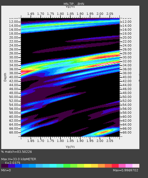
TIP Timpagrande, Italy - Earthquake Result Viewer

Earthquake location: Off East Coast Of Honshu, Japan
Earthquake latitude/longitude: 40.3/143.5
Earthquake time(UTC): 2011/04/21 (111) 00:39:03 GMT
Earthquake Depth: 10 km
Earthquake Magnitude: 5.7 MW, 5.2 MS, 5.4 MB, 5.6 MW
Earthquake Catalog/Contributor: WHDF/NEIC
Network: MN MEDNET Project
Station: TIP Timpagrande, Italy
Lat/Lon: 39.18 N/16.76 E
Elevation: 789 m
Distance: 87.1 deg
Az: 321.449 deg
Baz: 37.798 deg
Ray Param: 0.043539695
Estimated Moho Depth: 33.0 km
Estimated Crust Vp/Vs: 2.04
Assumed Crust Vp: 6.1 km/s
Estimated Crust Vs: 2.994 km/s
Estimated Crust Poisson's Ratio: 0.34
Radial Match: 83.58226 %
Radial Bump: 400
Transverse Match: 81.21352 %
Transverse Bump: 400
SOD ConfigId: 356183
Insert Time: 2011-09-30 13:58:10.927 +0000
GWidth: 2.5
Max Bumps: 400
Tol: 0.001

Signal To Noise

ChannelStoNSTALTA
MN:TIP: :BHZ:20110421T00:51:17.751992Z7.21218352.638217E-73.6580005E-8
MN:TIP: :BHN:20110421T00:51:17.751992Z1.60695276.679499E-84.1566246E-8
MN:TIP: :BHE:20110421T00:51:17.751992Z1.16968435.8723305E-85.020441E-8
Arrivals
Ps5.7 SECOND
PpPs16 SECOND
PsPs/PpSs22 SECOND