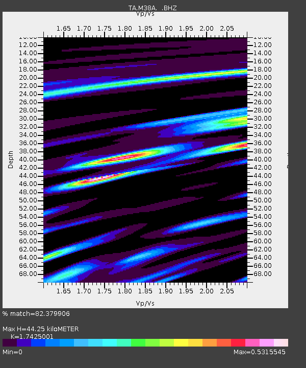
M38A Pleasantville, IA, USA - Earthquake Result Viewer

Earthquake location: Off East Coast Of Honshu, Japan
Earthquake latitude/longitude: 38.2/144.0
Earthquake time(UTC): 2011/05/05 (125) 14:58:18 GMT
Earthquake Depth: 11 km
Earthquake Magnitude: 6.2 MB, 5.7 MS, 6.1 MW, 6.1 MW
Earthquake Catalog/Contributor: WHDF/NEIC
Network: TA USArray Transportable Network (new EarthScope stations)
Station: M38A Pleasantville, IA, USA
Lat/Lon: 41.42 N/93.20 W
Elevation: 258 m
Distance: 85.1 deg
Az: 39.396 deg
Baz: 318.308 deg
Ray Param: 0.044976365
Estimated Moho Depth: 44.25 km
Estimated Crust Vp/Vs: 1.74
Assumed Crust Vp: 6.498 km/s
Estimated Crust Vs: 3.729 km/s
Estimated Crust Poisson's Ratio: 0.25
Radial Match: 82.379906 %
Radial Bump: 400
Transverse Match: 63.809376 %
Transverse Bump: 400
SOD ConfigId: 356183
Insert Time: 2011-10-06 15:38:18.920 +0000
GWidth: 2.5
Max Bumps: 400
Tol: 0.001

Signal To Noise

ChannelStoNSTALTA
TA:M38A: :BHZ:20110505T15:10:23.20002Z9.6660291.1102188E-61.14857805E-7
TA:M38A: :BHN:20110505T15:10:23.20002Z2.50702333.3455882E-71.3344862E-7
TA:M38A: :BHE:20110505T15:10:23.20002Z2.3312062.509118E-71.07631756E-7
Arrivals
Ps5.2 SECOND
PpPs18 SECOND
PsPs/PpSs23 SECOND