NE31 NE31 of OIINK Flexarray - Earthquake Result Viewer
Earthquake location: Near Coast Of Northern Peru
Earthquake latitude/longitude: -5.6/-81.0
Earthquake time(UTC): 2014/03/15 (074) 23:51:33 GMT
Earthquake Depth: 29 km
Earthquake Magnitude: 6.3 MWW, 6.2 MWB, 6.3 MWC
Earthquake Catalog/Contributor: NEIC PDE/NEIC COMCAT
Network: XO Ozark Illinois, Indiana and Kentucky ES Flexible Array
Station: NE31 NE31 of OIINK Flexarray
Lat/Lon: 37.97 N/87.17 W
Elevation: 119 m
Distance: 43.7 deg
Az: 352.887 deg
Baz: 171.028 deg
Ray Param: 0.07231649
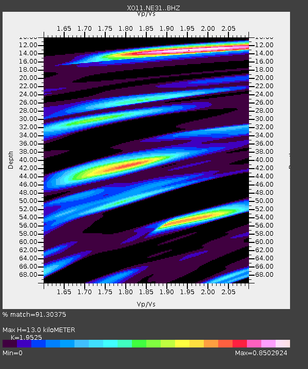
Estimated Moho Depth: 13.0 km
Estimated Crust Vp/Vs: 1.95
Assumed Crust Vp: 6.444 km/s
Estimated Crust Vs: 3.3 km/s
Estimated Crust Poisson's Ratio: 0.32
Radial Match: 91.30375 %
Radial Bump: 360
Transverse Match: 68.52853 %
Transverse Bump: 400
SOD ConfigId: 3390531
Insert Time: 2019-04-10 16:45:59.103 +0000
GWidth: 2.5
Max Bumps: 400
Tol: 0.001

Signal To Noise

ChannelStoNSTALTA
XO:NE31: :BHZ:20140315T23:59:05.149985Z7.6414349.373178E-71.2266254E-7
XO:NE31: :BHN:20140315T23:59:05.149985Z4.18552736.371899E-71.5223647E-7
XO:NE31: :BHE:20140315T23:59:05.149985Z1.55795652.1022711E-71.3493774E-7
Arrivals
Ps2.0 SECOND
PpPs5.6 SECOND
PsPs/PpSs7.7 SECOND