RATT Rattlesnake Lake, WA - Earthquake Result Viewer
Earthquake location: Near East Coast Of Honshu, Japan
Earthquake latitude/longitude: 37.7/141.7
Earthquake time(UTC): 2011/06/18 (169) 11:31:05 GMT
Earthquake Depth: 20 km
Earthquake Magnitude: 5.9 MB, 5.4 MS, 5.8 MW, 5.6 MW
Earthquake Catalog/Contributor: WHDF/NEIC
Network: UW Pacific Northwest Regional Seismic Network
Station: RATT Rattlesnake Lake, WA
Lat/Lon: 47.43 N/121.80 W
Elevation: 440 m
Distance: 67.3 deg
Az: 46.976 deg
Baz: 301.303 deg
Ray Param: 0.05700418
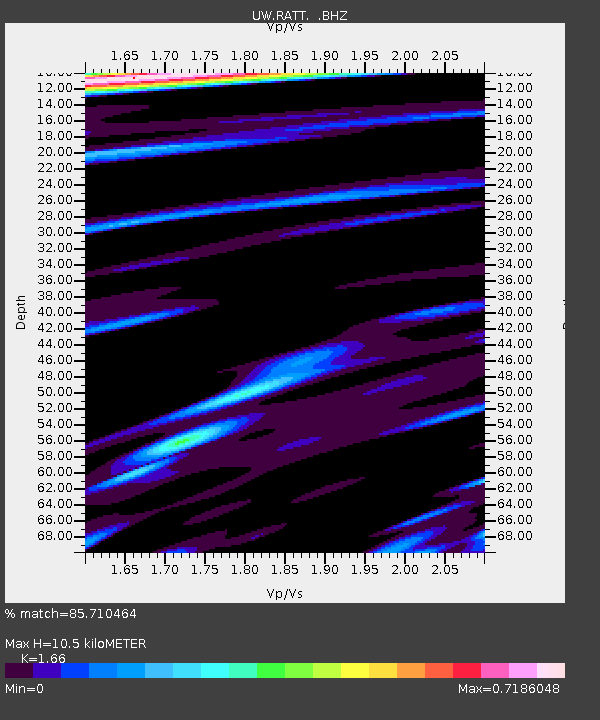
Estimated Moho Depth: 10.5 km
Estimated Crust Vp/Vs: 1.66
Assumed Crust Vp: 6.597 km/s
Estimated Crust Vs: 3.974 km/s
Estimated Crust Poisson's Ratio: 0.22
Radial Match: 85.710464 %
Radial Bump: 400
Transverse Match: 80.1783 %
Transverse Bump: 400
SOD ConfigId: 395004
Insert Time: 2011-12-01 05:26:47.385 +0000
GWidth: 2.5
Max Bumps: 400
Tol: 0.001

Signal To Noise

ChannelStoNSTALTA
UW:RATT: :BHZ:20110618T11:41:28.24499Z9.535068.6830767E-79.106473E-8
UW:RATT: :BHN:20110618T11:41:28.24499Z1.66902981.3468261E-78.0695145E-8
UW:RATT: :BHE:20110618T11:41:28.24499Z3.2102822.7490606E-78.563299E-8
Arrivals
Ps1.1 SECOND
PpPs4.0 SECOND
PsPs/PpSs5.1 SECOND