Y46A Houston, MS, USA - Earthquake Result Viewer
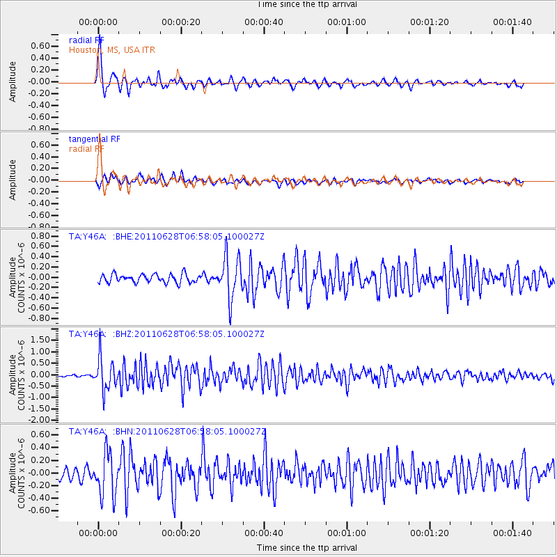
Earthquake location: Fox Islands, Aleutian Islands
Earthquake latitude/longitude: 52.1/-171.7
Earthquake time(UTC): 2011/06/28 (179) 06:48:32 GMT
Earthquake Depth: 30 km
Earthquake Magnitude: 5.6 MB, 5.4 MS, 5.9 MW, 5.6 MW
Earthquake Catalog/Contributor: WHDF/NEIC
Network: TA USArray Transportable Network (new EarthScope stations)
Station: Y46A Houston, MS, USA
Lat/Lon: 33.88 N/88.86 W
Elevation: 109 m
Distance: 60.0 deg
Az: 72.462 deg
Baz: 314.99 deg
Ray Param: 0.061798587
Estimated Moho Depth: 29.0 km
Estimated Crust Vp/Vs: 1.74
Assumed Crust Vp: 6.201 km/s
Estimated Crust Vs: 3.559 km/s
Estimated Crust Poisson's Ratio: 0.25
Radial Match: 86.981895 %
Radial Bump: 323
Transverse Match: 81.09294 %
Transverse Bump: 400
SOD ConfigId: 395004
Insert Time: 2011-12-08 06:14:40.074 +0000
GWidth: 2.5
Max Bumps: 400
Tol: 0.001

Signal To Noise

ChannelStoNSTALTA
TA:Y46A: :BHZ:20110628T06:58:05.100027Z16.154047.2002456E-74.4572417E-8
TA:Y46A: :BHN:20110628T06:58:05.100027Z3.64221293.480544E-79.5561255E-8
TA:Y46A: :BHE:20110628T06:58:05.100027Z5.23753364.2279868E-78.072477E-8
Arrivals
Ps3.6 SECOND
PpPs12 SECOND
PsPs/PpSs16 SECOND