OSI Osito Adit, California, USA - Earthquake Result Viewer
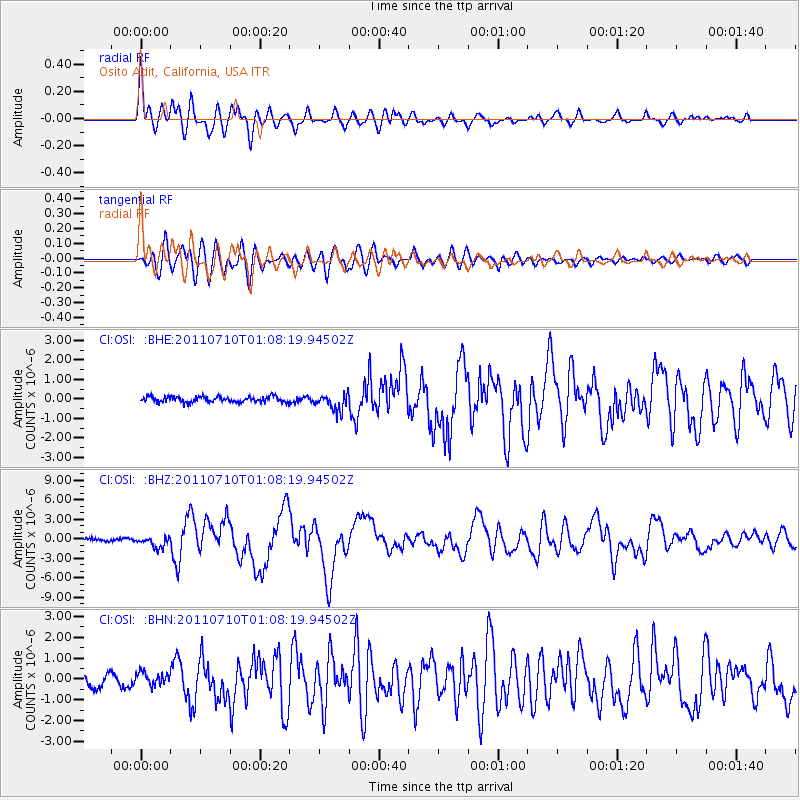
Earthquake location: Off East Coast Of Honshu, Japan
Earthquake latitude/longitude: 38.0/143.3
Earthquake time(UTC): 2011/07/10 (191) 00:57:10 GMT
Earthquake Depth: 23 km
Earthquake Magnitude: 6.6 MB, 7.0 MS, 7.0 MW, 7.0 MW
Earthquake Catalog/Contributor: WHDF/NEIC
Network: CI Caltech Regional Seismic Network
Station: OSI Osito Adit, California, USA
Lat/Lon: 34.61 N/118.72 W
Elevation: 706 m
Distance: 75.2 deg
Az: 57.662 deg
Baz: 306.008 deg
Ray Param: 0.05183059
Estimated Moho Depth: 63.25 km
Estimated Crust Vp/Vs: 1.81
Assumed Crust Vp: 6.1 km/s
Estimated Crust Vs: 3.38 km/s
Estimated Crust Poisson's Ratio: 0.28
Radial Match: 91.515656 %
Radial Bump: 400
Transverse Match: 84.97216 %
Transverse Bump: 400
SOD ConfigId: 395004
Insert Time: 2011-12-16 05:50:13.331 +0000
GWidth: 2.5
Max Bumps: 400
Tol: 0.001

Signal To Noise

ChannelStoNSTALTA
CI:OSI: :BHZ:20110710T01:08:19.94502Z3.35543358.391526E-72.500877E-7
CI:OSI: :BHN:20110710T01:08:19.94502Z1.05501383.1462775E-72.9822144E-7
CI:OSI: :BHE:20110710T01:08:19.94502Z3.06424024.408234E-71.438606E-7
Arrivals
Ps8.6 SECOND
PpPs28 SECOND
PsPs/PpSs37 SECOND