234A Clairette, TX, USA - Earthquake Result Viewer
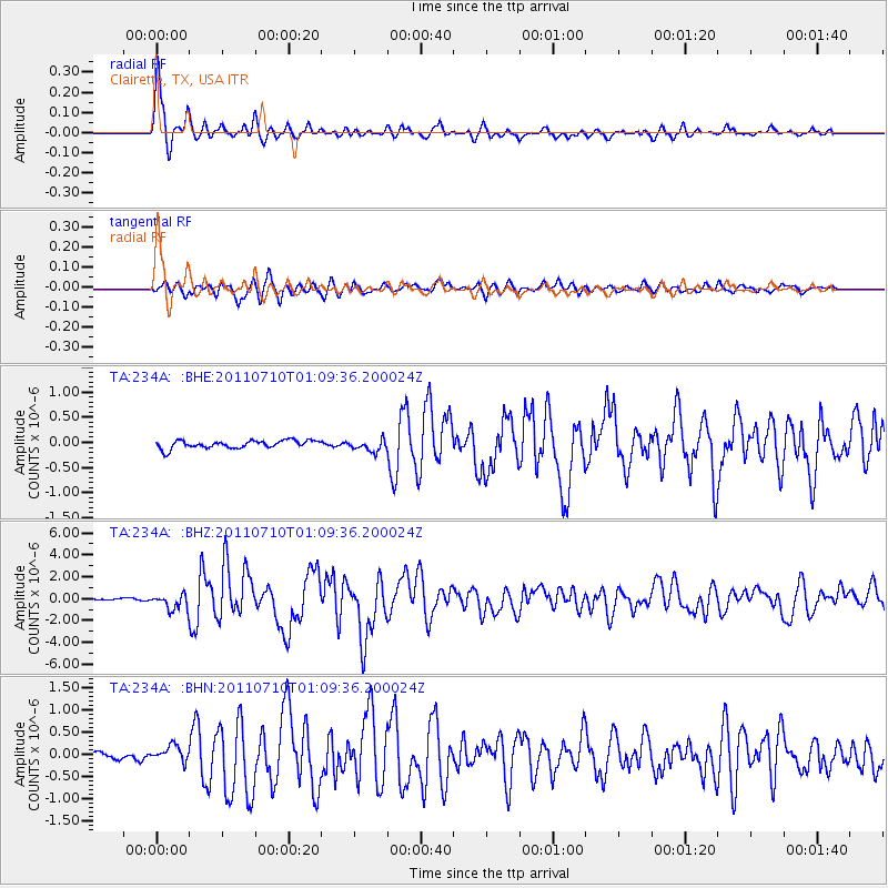
Earthquake location: Off East Coast Of Honshu, Japan
Earthquake latitude/longitude: 38.0/143.3
Earthquake time(UTC): 2011/07/10 (191) 00:57:10 GMT
Earthquake Depth: 23 km
Earthquake Magnitude: 6.6 MB, 7.0 MS, 7.0 MW, 7.0 MW
Earthquake Catalog/Contributor: WHDF/NEIC
Network: TA USArray Transportable Network (new EarthScope stations)
Station: 234A Clairette, TX, USA
Lat/Lon: 32.00 N/98.14 W
Elevation: 358 m
Distance: 89.9 deg
Az: 48.24 deg
Baz: 316.108 deg
Ray Param: 0.041712526
Estimated Moho Depth: 28.5 km
Estimated Crust Vp/Vs: 2.09
Assumed Crust Vp: 6.426 km/s
Estimated Crust Vs: 3.082 km/s
Estimated Crust Poisson's Ratio: 0.35
Radial Match: 94.75997 %
Radial Bump: 365
Transverse Match: 89.20581 %
Transverse Bump: 400
SOD ConfigId: 395004
Insert Time: 2011-12-16 06:35:31.735 +0000
GWidth: 2.5
Max Bumps: 400
Tol: 0.001

Signal To Noise

ChannelStoNSTALTA
TA:234A: :BHZ:20110710T01:09:36.200024Z10.340937.050728E-76.818273E-8
TA:234A: :BHN:20110710T01:09:36.200024Z2.49534251.7174015E-76.882428E-8
TA:234A: :BHE:20110710T01:09:36.200024Z1.44630771.1368744E-77.86053E-8
Arrivals
Ps4.9 SECOND
PpPs13 SECOND
PsPs/PpSs18 SECOND