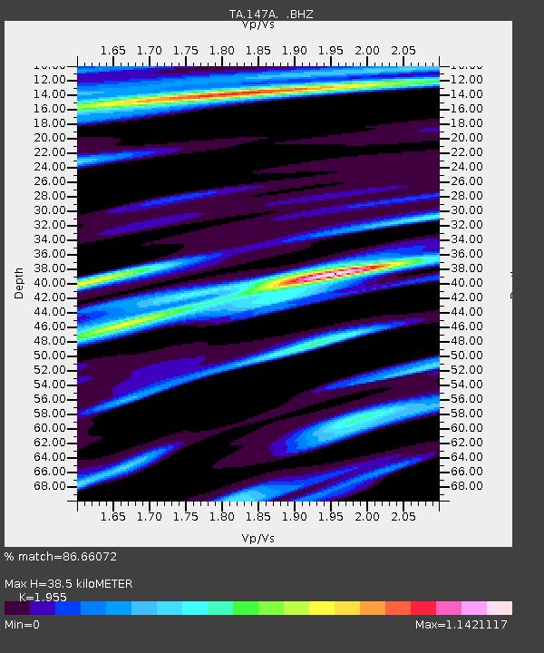
147A Livingston, AL, USA - Earthquake Result Viewer

Earthquake location: Off East Coast Of Honshu, Japan
Earthquake latitude/longitude: 38.0/143.3
Earthquake time(UTC): 2011/07/10 (191) 00:57:10 GMT
Earthquake Depth: 23 km
Earthquake Magnitude: 6.6 MB, 7.0 MS, 7.0 MW, 7.0 MW
Earthquake Catalog/Contributor: WHDF/NEIC
Network: TA USArray Transportable Network (new EarthScope stations)
Station: 147A Livingston, AL, USA
Lat/Lon: 32.67 N/88.27 W
Elevation: 57 m
Distance: 94.9 deg
Az: 41.51 deg
Baz: 321.647 deg
Ray Param: 0.04092964
Estimated Moho Depth: 38.5 km
Estimated Crust Vp/Vs: 1.96
Assumed Crust Vp: 6.201 km/s
Estimated Crust Vs: 3.172 km/s
Estimated Crust Poisson's Ratio: 0.32
Radial Match: 86.66072 %
Radial Bump: 400
Transverse Match: 88.43441 %
Transverse Bump: 389
SOD ConfigId: 395004
Insert Time: 2011-12-16 07:04:51.713 +0000
GWidth: 2.5
Max Bumps: 400
Tol: 0.001

Signal To Noise

ChannelStoNSTALTA
TA:147A: :BHZ:20110710T01:09:59.175Z5.33414755.746162E-71.077241E-7
TA:147A: :BHN:20110710T01:09:59.175Z0.69351631.830699E-72.6397348E-7
TA:147A: :BHE:20110710T01:09:59.175Z0.99801393.09677E-73.102933E-7
Arrivals
Ps6.0 SECOND
PpPs18 SECOND
PsPs/PpSs24 SECOND