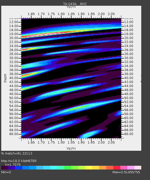
Q43A New Douglas, IL, USA - Earthquake Result Viewer

Earthquake location: Off East Coast Of Honshu, Japan
Earthquake latitude/longitude: 38.0/143.3
Earthquake time(UTC): 2011/07/10 (191) 00:57:10 GMT
Earthquake Depth: 23 km
Earthquake Magnitude: 6.6 MB, 7.0 MS, 7.0 MW, 7.0 MW
Earthquake Catalog/Contributor: WHDF/NEIC
Network: TA USArray Transportable Network (new EarthScope stations)
Station: Q43A New Douglas, IL, USA
Lat/Lon: 38.94 N/89.70 W
Elevation: 202 m
Distance: 89.2 deg
Az: 38.504 deg
Baz: 320.921 deg
Ray Param: 0.041967414
Estimated Moho Depth: 18.0 km
Estimated Crust Vp/Vs: 1.71
Assumed Crust Vp: 6.444 km/s
Estimated Crust Vs: 3.774 km/s
Estimated Crust Poisson's Ratio: 0.24
Radial Match: 91.22113 %
Radial Bump: 400
Transverse Match: 80.63254 %
Transverse Bump: 400
SOD ConfigId: 395004
Insert Time: 2011-12-16 07:07:41.101 +0000
GWidth: 2.5
Max Bumps: 400
Tol: 0.001

Signal To Noise

ChannelStoNSTALTA
TA:Q43A: :BHZ:20110710T01:09:33.349988Z9.0729078.6806506E-79.567661E-8
TA:Q43A: :BHN:20110710T01:09:33.349988Z1.22378551.924909E-71.5729137E-7
TA:Q43A: :BHE:20110710T01:09:33.349988Z1.37912131.8238019E-71.3224376E-7
Arrivals
Ps2.0 SECOND
PpPs7.4 SECOND
PsPs/PpSs9.4 SECOND